Goodwater, Saskatchewan
For other uses, see Goodwater.
| Village of Goodwater | |
|---|---|
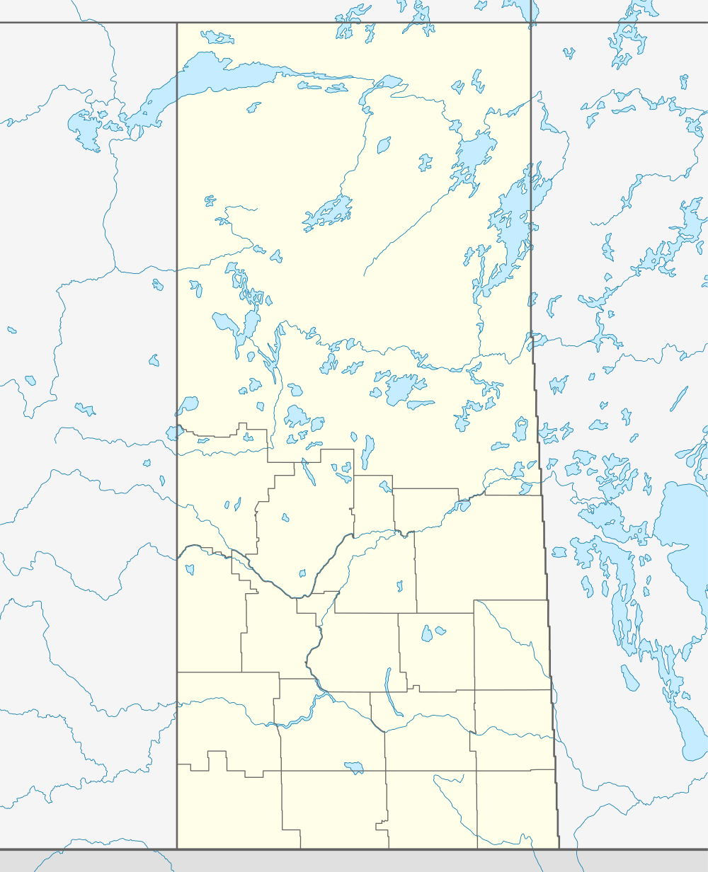   Location of Goodwater in Saskatchewan | |
| Coordinates: 49°23′28″N 103°53′20″W / 49.391°N 103.889°W | |
| Country | Canada |
| Province | Saskatchewan |
| Region | Saskatchewan |
| Census division | 2 |
| Rural Municipality | Lomond |
| Post office Founded | N/A |
| Incorporated (Village) | N/A |
| Incorporated (Town) | N/A |
| Government | |
| • Mayor | Greg Collins |
| • Administrator | Kevin Melle |
| • Governing body | Goodwater Village Council |
| Area | |
| • Total | 0.59 km2 (0.23 sq mi) |
| Population (2011)[1] | |
| • Total | 25 |
| • Density | 42.1/km2 (109/sq mi) |
| Time zone | CST |
| Postal code | S4H 2K1 |
| Area code(s) | 306 |
| Highways | Highway 705 |
| [2][3][4][5] | |
Goodwater is a village in southeastern Saskatchewan, Canada, located approximately 50 km (31 mi) south of Weyburn.
Demographics
In the 2011 Census, Goodwater had a population of 25 living in 10 of its 11 total private dwellings.[1]
| Canada census – Goodwater, Saskatchewan community profile | |||
|---|---|---|---|
| 2011 | 2006 | ||
| Population: | 25[1] (0.0% from 2006) | 25 (0.0% from 2001) | |
| Land area: | 0.59 km2 (0.23 sq mi) | 0.59 km2 (0.23 sq mi) | |
| Population density: | 42.1/km2 (109/sq mi) | 42.1/km2 (109/sq mi) | |
| Median age: | NA (M: NA, F: NA) | NA (M: NA, F: NA) | |
| Total private dwellings: | 11[1] | 11 | |
| Median household income: | $Not Available | $Not Available | |
| References: 2011[6] 2006[7] | |||
See also
 |
Weyburn | Halbrite | | |
| Colgate |  |
Midale | ||
| ||||
 | ||||
| Tribune | Bromhead | Torquay |


External links
- Saskatchewan City & Town Maps
- Saskatchewan Gen Web - One Room School Project
- Post Offices and Postmasters - ArchiviaNet - Library and Archives Canada
- Saskatchewan Gen Web Region
- Online Historical Map Digitization Project
- GeoNames Query
- 2006 Community Profiles
Footnotes
- 1 2 3 4 "Corrections and updates: Population and dwelling count amendments, 2011 Census". Statistics Canada. February 14, 2013. Retrieved February 16, 2013.
- ↑ National Archives, Archivia Net, Post Offices and Postmasters
- ↑ Government of Saskatchewan, MRD Home, Municipal Directory System, archived from the original (– Scholar search) on November 21, 2008
- ↑ Canadian Textiles Institute. (2005), CTI Determine your provincial constituency
- ↑ Commissioner of Canada Elections, Chief Electoral Officer of Canada (2005), Elections Canada On-line
- ↑ "2011 Community Profiles". Canada 2011 Census. Statistics Canada. July 5, 2013. Retrieved 2013-02-16.
- ↑ "2006 Community Profiles". Canada 2006 Census. Statistics Canada. March 30, 2011. Retrieved 2009-02-24.
 Subdivisions of Saskatchewan Subdivisions of Saskatchewan | |
|---|---|
| Subdivisions | |
| Communities | |
| Cities | |
| Topics |
|
| |


Coordinates: 49°23′28″N 103°53′20″W / 49.391°N 103.889°W
This article is issued from Wikipedia - version of the 9/9/2016. The text is available under the Creative Commons Attribution/Share Alike but additional terms may apply for the media files.