Harrison County Airport (Texas)
| Harrison County Airport | |||||||||||||||
|---|---|---|---|---|---|---|---|---|---|---|---|---|---|---|---|
| IATA: ASL – ICAO: KASL – FAA LID: ASL | |||||||||||||||
| Summary | |||||||||||||||
| Airport type | Public | ||||||||||||||
| Owner | Harrison County | ||||||||||||||
| Serves | Marshall, Texas | ||||||||||||||
| Elevation AMSL | 357 ft / 109 m | ||||||||||||||
| Coordinates | 32°31′14″N 094°18′28″W / 32.52056°N 94.30778°W | ||||||||||||||
| Map | |||||||||||||||
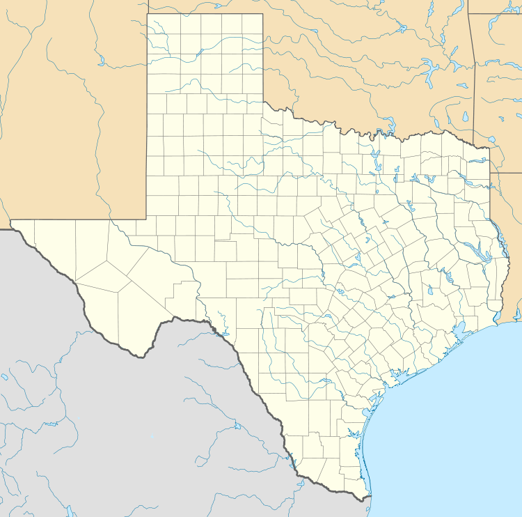  ASL Location in Texas | |||||||||||||||
| Runways | |||||||||||||||
| |||||||||||||||
| Statistics (2007) | |||||||||||||||
| |||||||||||||||
Harrison County Airport (IATA: ASL, ICAO: KASL, FAA LID: ASL) is a public airport three miles southeast of Marshall, Texas, in Harrison County, which owns it .[1]
Trans-Texas DC-3s stopped there until 1963.
Facilities
Harrison County Airport covers 480 acres (190 ha) at an elevation of 357 feet (109 m). It has two asphalt runways: 15/33 is 5,002 by 100 feet (1,525 x 30 m) and 1/19 is 3,299 by 60 feet (1,006 x 18 m).[1]
In the year ending May 28, 2007 the airport had 16,200 general aviation aircraft operations, average 44 per day. 27 aircraft were then based at the airport: 70% single-engine, 11% multi-engine, 7% jet and 11% ultralight.[1]
References
- 1 2 3 4 FAA Airport Master Record for ASL (Form 5010 PDF). Federal Aviation Administration. Effective July 29, 2010.
- ↑ Harrison County Airport. Texas Department of Transportation. Updated October 8, 2007.
External links
- FAA Terminal Procedures for ASL, effective November 10, 2016
- Resources for this airport:
- FAA airport information for ASL
- AirNav airport information for KASL
- ASN accident history for ASL
- FlightAware airport information and live flight tracker
- NOAA/NWS latest weather observations
- SkyVector aeronautical chart, Terminal Procedures
This article is issued from Wikipedia - version of the 3/31/2014. The text is available under the Creative Commons Attribution/Share Alike but additional terms may apply for the media files.