Hartwell, Northamptonshire
| Hartwell | |
 St John the Baptist Parish Church Hartwell built ca 1851 |
|
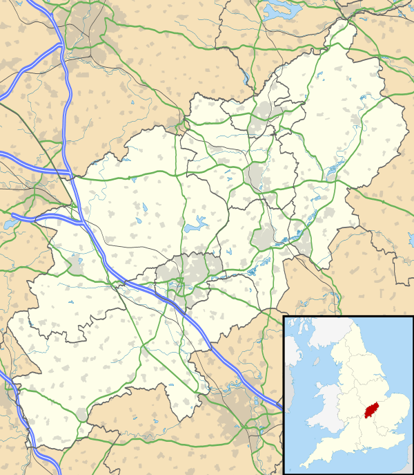  Hartwell |
|
| Population | 1,815 [1] 1,875 (2011 census)[2] |
|---|---|
| OS grid reference | SP7850 |
| – London | 62 miles (100 km) |
| Civil parish | Hartwell |
| District | South Northamptonshire |
| Shire county | Northamptonshire |
| Region | East Midlands |
| Country | England |
| Sovereign state | United Kingdom |
| Post town | NORTHAMPTON |
| Postcode district | NN7 2 |
| Dialling code | 01604 |
| Police | Northamptonshire |
| Fire | Northamptonshire |
| Ambulance | East Midlands |
| EU Parliament | East Midlands |
| UK Parliament | South Northamptonshire |
|
|
Coordinates: 52°08′49″N 0°51′14″W / 52.147°N 0.854°W
Hartwell is a village and civil parish in South Northamptonshire, bordering Buckinghamshire. The village is next to Salcey Forest and the M1 motorway. It is 7 miles (11 km) south of Northampton and 13 miles (21 km) north of Milton Keynes.
Demographics
According to the 2001 census, the parish had a population of 1,815 people in 693 household,.[1] increasing to 1,875 at the 2011 census.[3]
Within the village are Hartwell Parish Church, Hartwell CofE Primary School, the Rose and Crown public house, community centre, recreational ground, village shop and Conservative Club.
Hartwellians
- Isaac Wake (1580–1632), diplomat, political commentator, and ambassador of the Court of St James's to Savoy and France
References
- 1 2 Office for National Statistics: Hartwell CP: Parish headcounts. Retrieved 12 November 2009
- ↑ SNC (2011). South Northamptonshire Council Year Book 2011–2012. Towcester NN12 7FA. p. 39.
- ↑ "Civil Parish 2011". Neighbourhood Statistics. Office for National Statistics. Retrieved 5 July 2016.
External links
 |
Wikimedia Commons has media related to Hartwell, Northamptonshire. |
This article is issued from Wikipedia - version of the 11/12/2016. The text is available under the Creative Commons Attribution/Share Alike but additional terms may apply for the media files.