Hoch Fulen
This article is about mountain Hoch Fulen of the Glarus Alps. For other uses, see Fulen.
| Hoch Fulen | |
|---|---|
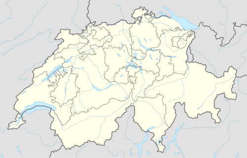  Hoch Fulen Location in Switzerland | |
| Highest point | |
| Elevation | 2,506 m (8,222 ft) |
| Prominence | 261 m (856 ft) [1] |
| Parent peak | Schwarz Stöckli |
| Coordinates | 46°49′52″N 8°42′21″E / 46.83111°N 8.70583°ECoordinates: 46°49′52″N 8°42′21″E / 46.83111°N 8.70583°E |
| Naming | |
| Translation | Tall Fulen (German) |
| Geography | |
| Location | Uri |
| Country | Switzerland |
| Parent range | Glarus Alps |
| Topo map | Swiss Federal Office of Topography swisstopo |
The Hoch Fulen is a mountain of the Glarus Alps, located east of Erstfeld in the Uri. It lies in the group north-west of the Gross Windgällen, between the Reuss valley and the Schächental.
References
External links
This article is issued from Wikipedia - version of the 6/2/2016. The text is available under the Creative Commons Attribution/Share Alike but additional terms may apply for the media files.