Homlungen Lighthouse
 Homlungen Lighthouse | |
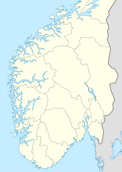  Norway South | |
| Location |
Hvaler Østfold Norway |
|---|---|
| Coordinates | 59°00′58″N 11°01′28″E / 59.016085°N 11.024394°ECoordinates: 59°00′58″N 11°01′28″E / 59.016085°N 11.024394°E |
| Year first constructed | 1867 |
| Automated | 1952 |
| Foundation | granite |
| Construction | wood |
| Tower shape | square tower integral with house |
| Markings / pattern | white tower, red lantern |
| Height | 12 metres (39 ft) |
| Focal height | 13.5 metres (44 ft) |
| Current lens | 4° order Fresnel lens |
| Range | 12 nautical miles (22 km; 14 mi) |
| Characteristic | Oc WRG 6s. |
| Admiralty number | B2222 |
| NGA number | 0116 |
| ARLHS number | NOR-125 |
| Norway number | NF-0055 |
| Managing agent | Oslofjorden Friluftsråd (Homlungen)[1] |
Homlungen Lighthouse (Norwegian: Homlungen fyr) is a fully automated leading lighthouse situated on a skerry in the archipelago municipality of Hvaler, Norway. The lighthouse and surrounding buildings, which include residences, outhouse, a well, and engine house are proposed protected as a national park.
See also
References
- ↑ Homlungen Lighthouse The Lighthouse Directory. University of North Carolina at Chapel Hill. Retrieved March 10, 2016
- Rowlett, Russ. "Lighthouses of Norway: Oslo Area". The Lighthouse Directory. University of North Carolina at Chapel Hill.
- Ryvarden, Leif; Lauritzen, Per Roger (2006). KystNorge. 1–3. Oslo: Gyldendal. ISBN 978-82-05-35265-0.
External links
 |
Wikimedia Commons has media related to Homlungen fyr. |
This article is issued from Wikipedia - version of the 6/30/2016. The text is available under the Creative Commons Attribution/Share Alike but additional terms may apply for the media files.