Huejotitán Municipality
| Huejotitán | |
|---|---|
| Municipality | |
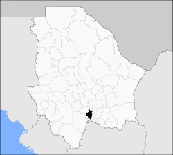 Municipality of Huejotitán in Chihuahua | |
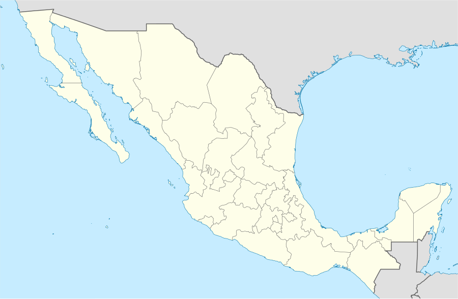  Huejotitán Location in Mexico | |
| Coordinates: 27°23′21″N 106°10′45″W / 27.38917°N 106.17917°WCoordinates: 27°23′21″N 106°10′45″W / 27.38917°N 106.17917°W | |
| Country |
 Mexico Mexico |
| State | Chihuahua |
| Municipal seat | Huejotitán |
| Founded | November 21, 1844 |
| Area | |
| • Total | 484.8 km2 (187.2 sq mi) |
| Population (2010) | |
| • Total | 1,049 |
Huejotitán is one of the 67 municipalities of Chihuahua, in northern Mexico. The municipal seat lies at Huejotitán. The municipality covers an area of 484.8 km².
As of 2010, the municipality had a total population of 1,049,[1] up from 1,036 as of 2005.[2]
The municipality had 51 localities, none of which had a population over 1,000.[1]
Geography
Towns and villages
The municipality has 40 localities. The largest are:
| Name | Population (2005) |
|---|---|
| Huejotitán | 244 |
| Pichague | 147 |
| Total Municipality | 1,036 |
References
- 1 2 "Huejotitán". Catálogo de Localidades. Secretaría de Desarrollo Social (SEDESOL). Retrieved 23 April 2014.
- ↑ "Huejotitán". Enciclopedia de los Municipios de México. Instituto Nacional para el Federalismo y el Desarrollo Municipal. Retrieved October 13, 2008.

This article is issued from Wikipedia - version of the 4/16/2015. The text is available under the Creative Commons Attribution/Share Alike but additional terms may apply for the media files.