Innset, Sør-Trøndelag
| Innset | |
|---|---|
| Village | |
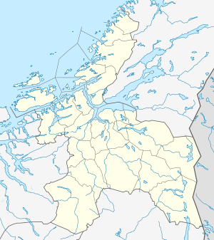  Innset  Innset Location in Sør-Trøndelag | |
| Coordinates: 62°43′08″N 10°02′28″E / 62.71889°N 10.04111°ECoordinates: 62°43′08″N 10°02′28″E / 62.71889°N 10.04111°E | |
| Country | Norway |
| Region | Trøndelag |
| County | Sør-Trøndelag |
| District | Orkdalen |
| Municipality | Rennebu |
| Elevation[1] | 550 m (1,800 ft) |
| Time zone | CET (UTC+01:00) |
| • Summer (DST) | CEST (UTC+02:00) |
| Post Code | 7398 Rennebu |
Innset is a parish in the municipality of Rennebu in Sør-Trøndelag county, Norway. The parish is located along the Orkla River about 4 kilometres (2.5 mi) south of the village of Rennebu, about 5 kilometres (3.1 mi) southeast of Ulsberg and about 22 kilometres (14 mi) northeast of Kvikne (in Tynset). Innset Church is located in the village.[2]
Innset was originally an annex to the main parish and municipality of Kvikne (in Hedmark county) - but it was transferred to the main parish and municipality of Rennebu (in Sør-Trøndelag county) in 1966.
The name
The parish of Innset was established in 1642. It was named after the old farm Innset (Norse *Ínnarsetr) where the church was built. The first element is the genitive case of the name of the river Inna (Norse *Ínn), the last element is setr 'farm'. The meaning of the rivername is unknown.
Until 1918 the name of the parish was written "Inset".