Isqiraqucha
| Isqiraqucha | |
|---|---|
  Isqiraqucha Peru | |
| Highest point | |
| Elevation | 5,200 m (17,100 ft) [1] |
| Coordinates | 10°30′59″S 76°49′58″W / 10.51639°S 76.83278°WCoordinates: 10°30′59″S 76°49′58″W / 10.51639°S 76.83278°W |
| Geography | |
| Location | Peru, Lima Region, Cajatambo Province, Oyón Province |
| Parent range | Andes |
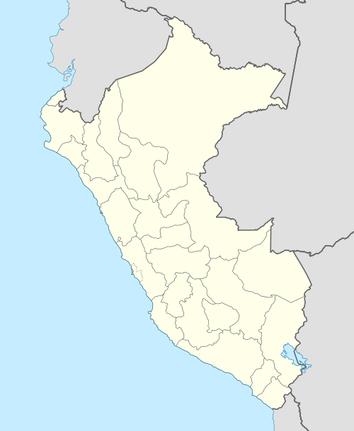
Isqiraqucha (Quechua isqira mud, qucha lake,[2][3] "mud lake", Hispanicized spelling Esgueracocha) is a mountain in the Andes of Peru near a small lake of that name. It reaches an altitude of approximately 5,200 m (17,100 ft). The mountain and the lake are located in the Lima Region, Oyón Province, Oyón District.[1]
The lake named Isqiraqucha lies southeast of the peak[1] at 10°32′33″S 76°49′22″W / 10.54250°S 76.82278°W.
References
- 1 2 3 escale.minedu.gob.pe - UGEL map of the Cajatambo Province (Lima Region)
- ↑ Willem F.H. Adelaar, Leiden University, The vicissitudes of directional affixes in Tarma (Northern Junín) Quechua, p. 137
- ↑ Teofilo Laime Ajacopa, Diccionario Bilingüe Iskay simipi yuyayk'ancha, La Paz, 2007 (Quechua-Spanish dictionary)
This article is issued from Wikipedia - version of the 7/29/2016. The text is available under the Creative Commons Attribution/Share Alike but additional terms may apply for the media files.