Jacupiranga
| Jacupiranga | |
|---|---|
| Municipality | |
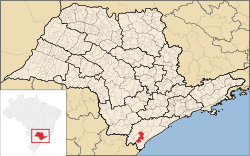 Location in São Paulo state | |
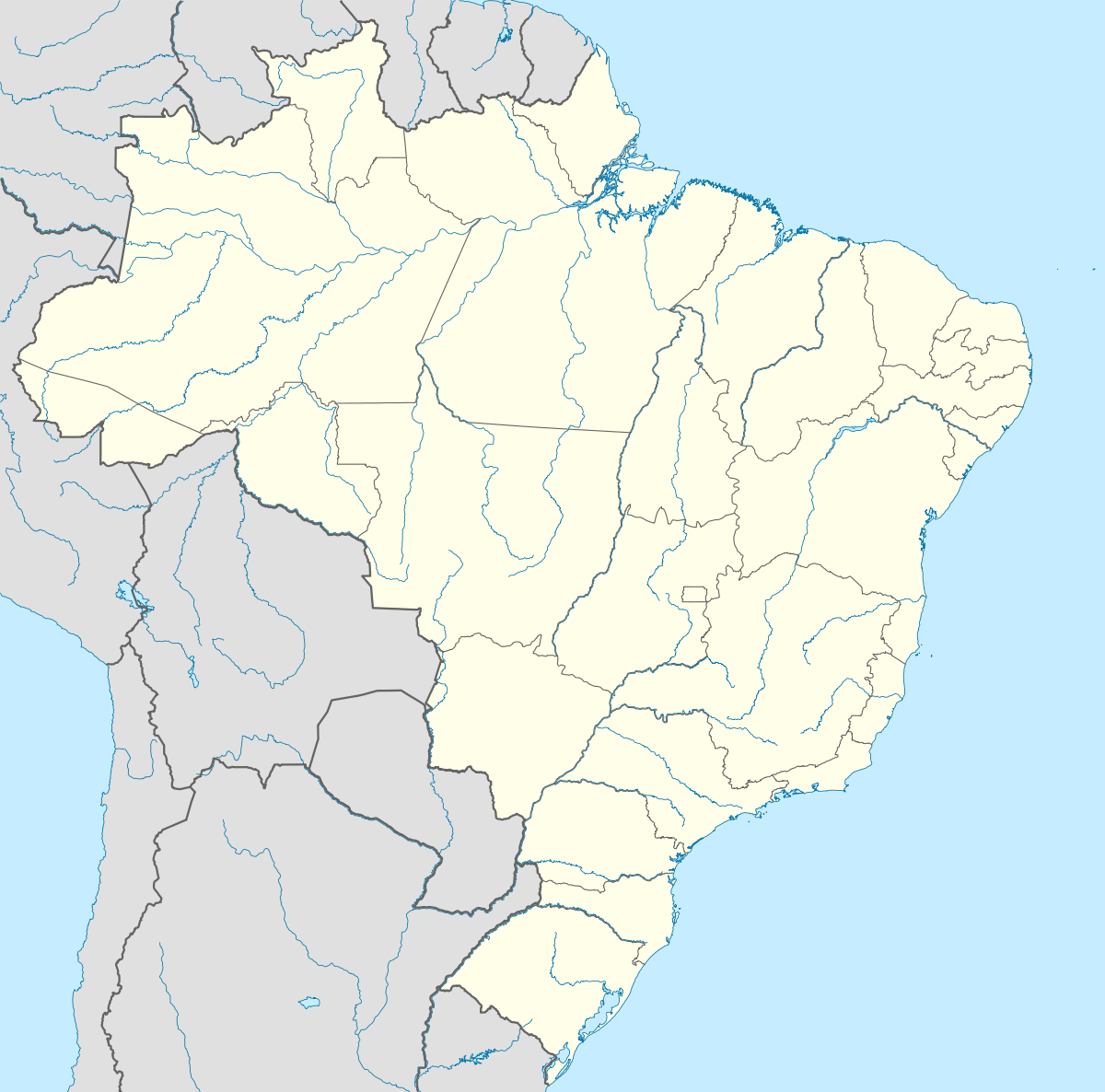  Jacupiranga Location in Brazil | |
| Coordinates: 24°41′33″S 48°0′8″W / 24.69250°S 48.00222°WCoordinates: 24°41′33″S 48°0′8″W / 24.69250°S 48.00222°W | |
| Country |
 Brazil Brazil |
| Region | Southeast Region |
| State | São Paulo |
| Area | |
| • Total | 704 km2 (272 sq mi) |
| Population (2015) | |
| • Total | 17,851 |
| • Density | 25/km2 (66/sq mi) |
| Time zone | BRT/BRST (UTC-3/-2) |
Jacupiranga is a municipality in the state of São Paulo in Brazil. The population is 17,851 (2015 est.) in an area of 704 km².[1] The elevation is 33 m.
The municipality contains part of the 182,596 hectares (451,200 acres) Rio Turvo State Park, created in 2008.[2]
See also
References
- ↑ Instituto Brasileiro de Geografia e Estatística
- ↑ Zanchetta, Inês; Bedeschi, Luciana (28 February 2008), Mosaico do Jacupiranga, no Vale do Ribeira, agora é lei (in Portuguese), ISA: Instituto Socioambiental, retrieved 2016-11-20
External links
This article is issued from Wikipedia - version of the 11/21/2016. The text is available under the Creative Commons Attribution/Share Alike but additional terms may apply for the media files.