Jambhavali
| Jambhavali | |
|---|---|
| Village | |
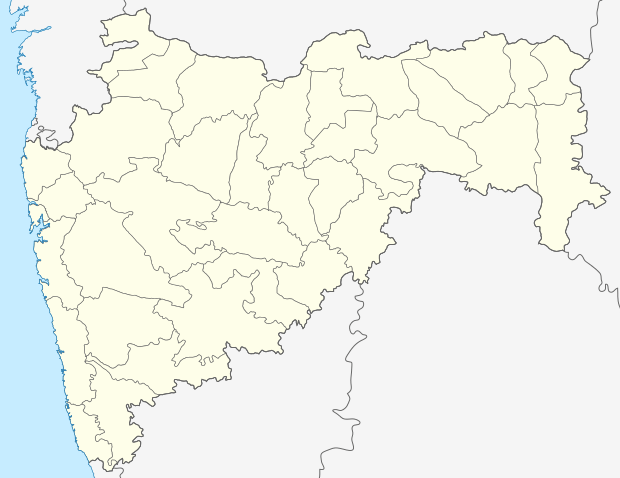  Jambhavali   Jambhavali Location in Maharashtra, India | |
| Coordinates: IN 18°50′56″N 73°25′47″E / 18.8489447°N 73.4298603°ECoordinates: IN 18°50′56″N 73°25′47″E / 18.8489447°N 73.4298603°E | |
| Country |
 India India |
| State | Maharashtra |
| District | Pune |
| Tehsil | Mawal |
| Government | |
| • Body | Gram panchayat |
| Population | |
| • Total | 283 |
| Sex ratio 156 /127 ♂/♀ | |
| Languages | |
| • Official | Marathi |
| • Other spoken | Hindi |
| Time zone | IST (UTC+5:30) |
| Pin code | 410405 |
| Telephone code | 02114 |
| ISO 3166 code | IN-MH |
| Vehicle registration | MH-14 |
| Website |
maharashtra |
Jambhavali is a village in India. It is situated in Mawal taluka of Pune District in the state of Maharashtra.[1]
Administration
The village is administrated by a Sarpanch who is an elected representative of village as per constitution of India and Panchayati raj (India).
Villages in Mawal taluka
Main article: Villages in Mawal taluka
External links
References
- ↑ "Jambhavali Pune, Maharashtra". census2011.co.in. Retrieved 21 June 2016.
This article is issued from Wikipedia - version of the 10/28/2016. The text is available under the Creative Commons Attribution/Share Alike but additional terms may apply for the media files.