Jammulapalem
| Jammulapalem జమ్ములపాలెం | |
|---|---|
| Village | |
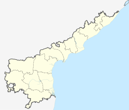  Jammulapalem  Jammulapalem Location in Andhra Pradesh, India | |
| Coordinates: 15°56′11″N 80°26′28″E / 15.936502°N 80.440997°ECoordinates: 15°56′11″N 80°26′28″E / 15.936502°N 80.440997°E | |
| Country | India |
| State | Andhra Pradesh |
| District | Guntur |
| Mandal | Bapatla |
| Area[1] | |
| • Total | 11.17 km2 (4.31 sq mi) |
| Population (2011)[1] | |
| • Total | 1,399 |
| • Density | 130/km2 (320/sq mi) |
| Languages | |
| • Official | Telugu |
| Time zone | IST (UTC+5:30) |
| Vehicle registration | AP |
Cheruvu Jammulapalem is village in Guntur district of the Indian state of Andhra Pradesh. It is located in Bapatla mandal of Tenali revenue division.[1] The village dependent on agriculture with the Kommamuru and Poondla channels of Krishna Western Delta system provides water for irrigation.[2]
References
- 1 2 3 "District Census Handbook - Guntur" (PDF). Census of India. pp. 14,498. Retrieved 24 August 2015.
- ↑ "Water woes bog down Bapatla ryots". The Hindu. 28 October 2015. Retrieved 29 February 2016.
This article is issued from Wikipedia - version of the 9/16/2016. The text is available under the Creative Commons Attribution/Share Alike but additional terms may apply for the media files.