Japanese map symbols
This is a list of symbols appearing on Japanese maps. These symbols are called chizukigou (地図記号) in the Japanese language.
.svg.png)
.svg.png)
.svg.png)
.svg.png)
.svg.png)
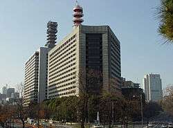
.svg.png)
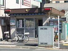
.svg.png)
.svg.png)

.svg.png)
.svg.png)
.svg.png)
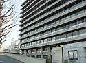
.svg.png)
.jpg)
.svg.png)
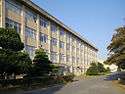
.svg.png)
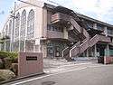
.svg.png)

.svg.png)

.svg.png)
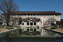
.svg.png)
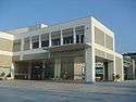
.svg.png)
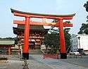
.svg.png)

.svg.png)
.jpg)
.svg.png)
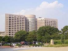
.svg.png)
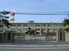
.svg.png)
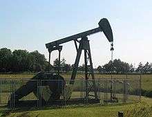
.svg.png)

.svg.png)
.svg.png)
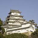
.svg.png)
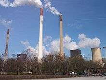
.svg.png)
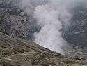
.svg.png)
.svg.png)
.svg.png)
.svg.png)
.svg.png)
.svg.png)
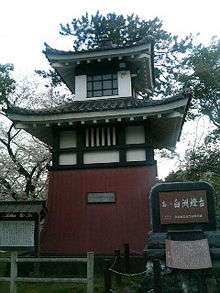
.svg.png)

.svg.png)
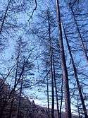
.svg.png)

.svg.png)
.svg.png)
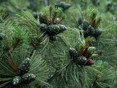
.svg.png)
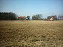
.svg.png)
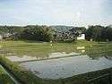
.svg.png)
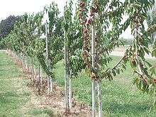
.svg.png)
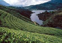
.svg.png)
.svg.png)
.svg.png)
.svg.png)
.svg.png)
.svg.png)
.svg.png)
.svg.png)
.svg.png)
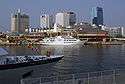
.svg.png)
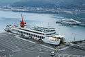
.svg.png)
.svg.png)
.svg.png)
.svg.png)
.svg.png)
.svg.png)

Partial list of symbols for the visually impaired
Official symbols according to the conventions of the Geographical Survey Institute of Japan appear with a circle below.
| Symbol | GSI | Meaning | Unicode | Description |
|---|---|---|---|---|
| ◬ | ○ | Base triangulation surveying point | U+25EC | Dot in upward-pointing triangle |
| ○ | Electronic triangulation point | Dot in upward-pointing triangle with flag | ||
| ⊡ | ○ | Benchmark | U+22A1 | Dot in square |
| ⛭ | ○ | Factory | U+26ED | Gear without hub |
| ⛯ | ○ | Lighthouse | U+26EF | Map symbol for lighthouse |
| ⛮ | ○ | Power station | U+26EE | Gear with handles |
| 文 | ○ | Elementary or junior high school | U+6587 | Kanji bun |
| ㉆ | ○ | High school | U+3246 | Kanji bun in a circle |
| ○ | University | Kanji bun with a smaller kanji 大 (for daigaku) in brackets on top | ||
| ○ | Technical college | Kanji bun with a smaller kanji 専 (for senmon gakkō) in brackets on top | ||
| 〶 | ○ | Post office | U+3036 | Down tack (T-shape) with overbar in circle |
| 〒 | × | Sub post office (not distribution centre) | U+3012 | Down tack (T-shape) with overbar |
| ⭙ | ○ | Police station | U+2B59 | Heavy circled saltire |
| ☓ | ○ | Koban (police box) | U+2613 | Diagonal cross (saltire) |
| ⊕ | ○ | Public health centre | U+2295 | Greek cross in circle |
| ⛨ | ○ | Hospital | Greek cross in shield | |
| ⭖ | ○ | Prefectural Office | U+26FB | Oval bullseye |
| ⭗ | ○ | City hall | U+2B57 | Heavy circle with circle inside |
| ◉ | ○ | Ward office | U+25C9 | Fisheye |
| ⭘ | ○ | Town hall | U+2B58 | Heavy circle |
| ⛩ | ○ | Shinto shrine | U+26E9 | Shinto shrine |
| 卍 | ○ | Buddhist temple | U+534D | Manji (Swastika) |
| ⛫ | ○ | Castle | U+26EB | Castle |
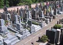
| ⛼ | ○ | Cemetery | U+26FC | Headstone graveyard symbol |
| ♨ | ○ | Onsen (hot springs) | U+2668 | Oval with three vertical wavy lines |
| ⛬ | ○ | Historical landmark | U+26EC | Historic site |
| ⛰ | ○ | Summit | U+26F0 | Mountain |
See also
External links
 |
Wikimedia Commons has media related to Map symbols of Japan. |
- Japanese map symbols
- List of symbols (Japanese) (Translate to English: Google, Bing)
- Children's list from the GSI (Japanese) (Translate to English: Google, Bing) This is a very good reference, it has separate links for each symbol.
- Map Symbols (2002) from the GSI (Japanese) (Translate to English: Google, Bing)
- Map symbols from the Its-mo online map (Japanese) (Translate to English: Google, Bing)
This article is issued from Wikipedia - version of the 4/18/2016. The text is available under the Creative Commons Attribution/Share Alike but additional terms may apply for the media files.