Kajuluru
| Kajuluru కాజులూరు | |
|---|---|
| village | |
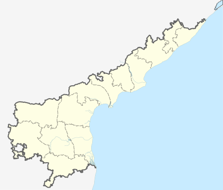  Kajuluru  Kajuluru Location in Andhra Pradesh, India | |
| Coordinates: 16°47′48″N 82°10′24″E / 16.796694°N 82.173314°ECoordinates: 16°47′48″N 82°10′24″E / 16.796694°N 82.173314°E | |
| Country |
 India India |
| State | Andhra Pradesh |
| District | East Godavari |
| Talukas | Kajuluru |
| Population (2010) | |
| • Total | 12,000 approx. |
| Languages | |
| • Official | Telugu |
| Time zone | IST (UTC+5:30) |
| PIN | 533468 |
| Telephone code | 0884 |
| Vehicle registration | AP |
| Vidhan Sabha constituency | Ramachandrapuram |
Kajuluru is a village and a Mandal in East Godavari district in the state of Andhra Pradesh in India.[1]
Geography
Kajuluru is located at 16°28′N 82°06′E / 16.47°N 82.10°E.The 82½ degrees east longitude, with respect to which IST (Indian Standard Time) is calculated, passes near through Kajuluru.
References
- ↑ "Mandal wise list of villages in East Godavari district" (PDF). Chief Commissioner of Land Administration. National Informatics Centre. Archived from the original (PDF) on 21 January 2015. Retrieved 7 March 2016.
This article is issued from Wikipedia - version of the 9/16/2016. The text is available under the Creative Commons Attribution/Share Alike but additional terms may apply for the media files.