Kamanjab
| Kamanjab Okamanja | |
|---|---|
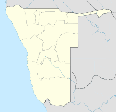  Kamanjab Location in Namibia | |
| Coordinates: NA 19°38′S 14°50′E / 19.633°S 14.833°E | |
| Country |
 Namibia Namibia |
| Region | Kunene Region |
| Time zone | South African Standard Time (UTC+1) |
| Climate | BWh |
Kamanjab (Otjiherero name: Okamanja)[1] is a village and a constituency in the Kunene region in Namibia. It has a population of 6,012 and is governed by a village council that currently has five seats.[2]
References
- ↑ Menges, Werner (12 May 2005). "Windhoek?! Rather make that Otjomuise". The Namibian.
- ↑ "Know Your Local Authority". Election Watch (3). Institute for Public Policy Research. 2015. p. 4.
Coordinates: 19°38′S 14°50′E / 19.633°S 14.833°E
This article is issued from Wikipedia - version of the 5/7/2016. The text is available under the Creative Commons Attribution/Share Alike but additional terms may apply for the media files.