Kangaba
| Kangaba | |
|---|---|
| Commune and town | |
|
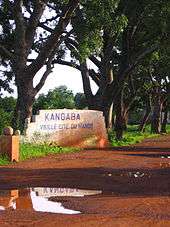
Entrance to Kangaba | |
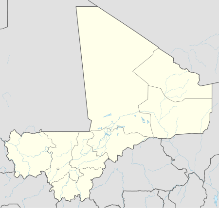  Kangaba Location in Mali | |
| Coordinates: 11°56′N 8°25′W / 11.933°N 8.417°WCoordinates: 11°56′N 8°25′W / 11.933°N 8.417°W | |
| Country |
 Mali Mali |
| Region | Koulikoro Region |
| Cercle | Kangaba Cercle |
| Population | |
| • Total | 17,232 [1] |
| Time zone | GMT (UTC+0) |
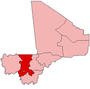
Kangaba is a town and commune and seat of the Cercle of Kangaba in the Koulikoro Region of south-western Mali.[2]
The area was once the Kangaba Province under the Mali Empire.[3]
Kamablon, a circular brick building with a conical-shaped roof, exists in a bara, or large public place, at the center of town.[4] It is currently being considered as a UNESCO World Heritage cultural site.[4] The septennial re-roofing ceremony is listed on the Representative List of the Intangible Cultural Heritage of Humanity as of 2009.
References
- ↑ "Kangaba - TipTopGlobe".
- ↑ "Previsions de desserte des communes pour la periode de 2001-2005" (PDF). Mali Reforme Telecom. Retrieved February 11, 2009.
- ↑ Wilks,Ivor. Wangara, Akan, and Portuguese in the Fifteenth and Sixteenth Centuries (1997). Bakewell, Peter, ed. Mines of Silver and Gold in the Americas. Aldershot: Variorum, Ashgate Publishing Limited. pp. 16–17.
- 1 2 Kamablon - UNESCO World Heritage Centre Retrieved on 2009-03-27.
 |
Wikimedia Commons has media related to Kangaba. |
|  | |
This article is issued from Wikipedia - version of the 10/8/2016. The text is available under the Creative Commons Attribution/Share Alike but additional terms may apply for the media files.