Karaca Dağ
| Karaca Dağ | |
|---|---|
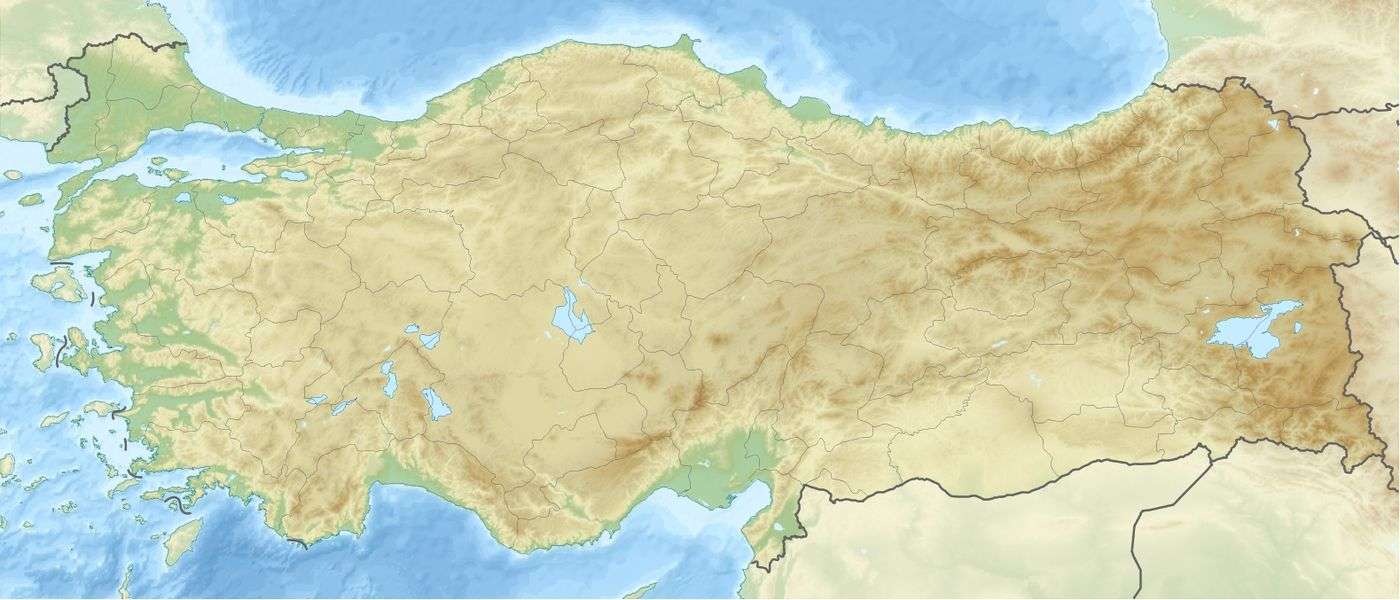  Karaca Dağ Şanlıurfa and Diyarbakir provinces, Turkey | |
| Highest point | |
| Elevation | 1,957 m (6,421 ft) |
| Coordinates | 37°40′12″N 39°49′48″E / 37.67000°N 39.83000°ECoordinates: 37°40′12″N 39°49′48″E / 37.67000°N 39.83000°E |
| Geography | |
| Location | Şanlıurfa and Diyarbakir provinces, Turkey |
| Geology | |
| Mountain type | Shield volcano |
| Last eruption | Unknown |
Karaca (Northern Kurdish: Qerejdax) is a shield volcano located in eastern Turkey.[1]
It was also known as 'Mount Masia'.[2] Which in turn was used to give the title of an Iris found on the mountain, as Iris masia.[3]
On 6 March 2006 Der Spiegel reported that the Max Planck Institute for Plant Breeding Research in Cologne[4] had discovered that the genetically common ancestor of 68 contemporary types of cereal still grows as a wild plant on the slopes of Mount Karaca (Karacadag).[5] The results strongly suggest that slopes of Karaca Dağ provided the site for the first domestication of einkorn wheat approximately 9,000 years ago.
See also
References
- ↑ "Karaca Dag". Global Volcanism Program. Smithsonian Institution.
- ↑ Phillips, Roger; Rix, Martyn (1991). Perennials Vol. 1. Pan Books Ltd. p. 216. ISBN 9780330327749.
- ↑ Pries, Bob (28 November 2013). "(SPEC) Iris masia Stapf ex Fos.". wiki.irises.org (American Iris Society). Retrieved 24 November 2014.
- ↑ Max Planck Institute for Breeding Research
- ↑ Heun, Manfred; et al. (November 1997). "Site of Einkorn Wheat Domestication Identified by DNA Fingerprinting" (PDF). Science. 278: 1312–1314. Bibcode:1997Sci...278.1312H. doi:10.1126/science.278.5341.1312.
This article is issued from Wikipedia - version of the 9/15/2016. The text is available under the Creative Commons Attribution/Share Alike but additional terms may apply for the media files.