Kariba Airport
| Kariba Airport | |||||||||||
|---|---|---|---|---|---|---|---|---|---|---|---|
| IATA: KAB – ICAO: FVKB | |||||||||||
| Summary | |||||||||||
| Airport type | Public | ||||||||||
| Owner/Operator | CAAZ[1] | ||||||||||
| Location | Kariba | ||||||||||
| Elevation AMSL | 1,706 ft / 520 m | ||||||||||
| Coordinates | 16°31′11″S 28°53′06″E / 16.51972°S 28.88500°ECoordinates: 16°31′11″S 28°53′06″E / 16.51972°S 28.88500°E | ||||||||||
| Map | |||||||||||
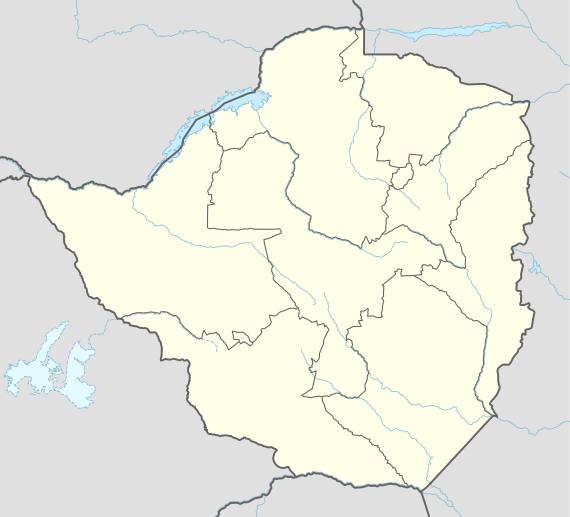  KAB Location of the airport in Zimbabwe | |||||||||||
| Runways | |||||||||||
| |||||||||||
Kariba Airport (IATA: KAB, ICAO: FVKB) is an international airport serving Kariba, Mashonaland West Province, Zimbabwe. It is 4 kilometres (2.5 mi) east of the town, and 13 kilometres (8.1 mi) east of the Kariba Dam, the outlet of Lake Kariba.[1][5]
The Kariba non-directional beacon (Ident: KB) is 3.6 nautical miles (6.7 km) west of the runway.[6]
Airports and destinations
| Airlines | Destinations |
|---|---|
| Air Zimbabwe | Harare |
See also
References
- 1 2 "Kariba Airport". Civil Aviation Authority of Zimbabwe (CAAZ). Archived from the original on 30 March 2012. Retrieved 30 March 2012.
- ↑ Airport information for FVKB at World Aero Data. Data current as of October 2006.
- ↑ Airport information for KAB at Great Circle Mapper.
- ↑ Google Maps - Kariba
- ↑ Mapcarta
- ↑ Kariba NDB
External links
This article is issued from Wikipedia - version of the 12/4/2016. The text is available under the Creative Commons Attribution/Share Alike but additional terms may apply for the media files.