Kaura Namoda
| Kaura Namoda | |
|---|---|
| LGA and town | |
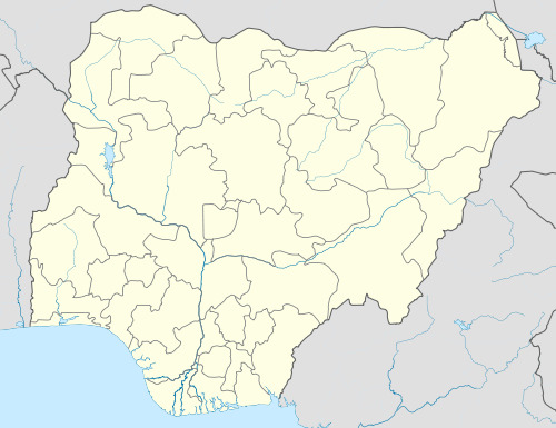  Kaura Namoda Location in Nigeria | |
| Coordinates: 12°36′0″N 6°35′23″E / 12.60000°N 6.58972°ECoordinates: 12°36′0″N 6°35′23″E / 12.60000°N 6.58972°E | |
| Country |
 Nigeria Nigeria |
| State | Zamfara State |
| Area | |
| • Total | 868 km2 (335 sq mi) |
| Population (2006 census) | |
| • Total | 281,367 |
| Time zone | WAT (UTC+1) |
| 3-digit postal code prefix | 882 |
| ISO 3166 code | NG.ZA.KN |
Kaura Namoda is a Local Government Area in Zamfara State, Nigeria. Its headquarters are in the town of Kaura-Namoda, home to the Federal Polytechnic, Kaura-Namoda.[1] It has an area of 868 km² and a population of 281,367 at the 2006 census.
Postal code
The postal code of the area is 882.[2]
Transport
It is served by a station at the terminus of a branch line of the western line of the national railway network. In 2014, this line is proposed to be rehabilitated and extended to Niamey in Niger.
See also
References
- ↑ "Welcome". Federal Polytechnic, Kaura Namoda. Retrieved 2010-03-21.
- ↑ "Post Offices- with map of LGA". NIPOST. Retrieved 2009-10-20.
State capital: Gusau | ||
| LGAs | 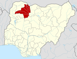 | |
This article is issued from Wikipedia - version of the 3/23/2014. The text is available under the Creative Commons Attribution/Share Alike but additional terms may apply for the media files.