Keeler, Saskatchewan
Keeler is a village in the Canadian province of Saskatchewan.
Demographics
| Canada census – Keeler, Saskatchewan community profile |
|---|
| |
2011 |
2006 |
|
| Population: |
15 (200.0%% from 2006) |
5 (-66.7% from 2001) |
|
| Land area: |
1.02 km2 (0.39 sq mi) |
1.02 km2 (0.39 sq mi) |
|
| Population density: |
14.7/km2 (38/sq mi) |
4.9/km2 (13/sq mi) |
|
| Median age: |
|
n/a (M: n/a, F: n/a) |
|
| Total private dwellings: |
10 |
7 |
|
| Median household income: |
|
$n/a |
|
| Notes: Some of the 2011 figures are from Statistics Canada's 2011 census corrections and updates.[1] – References: 2011[6] 2006[7] |
Notable people
See also
Footnotes
- 1 2 "Corrections and updates". Statistics Canada. 2012-05-29. Retrieved 2012-06-24.
- ↑ National Archives, Archivia Net, Post Offices and Postmasters
- ↑ Government of Saskatchewan, MRD Home, Municipal Directory System, archived from the original on November 21, 2008
- ↑ Canadian Textiles Institute. (2005), CTI Determine your provincial constituency
- ↑ Commissioner of Canada Elections, Chief Electoral Officer of Canada (2005), Elections Canada On-line
- ↑ "2011 Community Profiles". Canada 2011 Census. Statistics Canada. July 5, 2013. Retrieved 2012-06-24.
- ↑ "2006 Community Profiles". Canada 2006 Census. Statistics Canada. March 30, 2011. Retrieved 2009-02-24.
- ↑ Krátky, Martin (March–April 2005). "Seeds of Zen in the Prairies: Introducing Maurine Stuart". WHOLifE Journal. Wholeness & Wellness Journal of Saskatchewan. 10 (6). Retrieved 14 April 2015.
External links
Coordinates: 50°40′43″N 105°52′41″W / 50.6787°N 105.878°W / 50.6787; -105.878
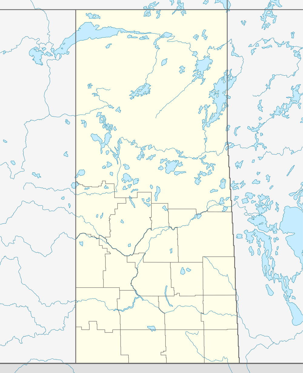




 Subdivisions of Saskatchewan

