Kelso, Tasmania
| Kelso Tasmania | |
|---|---|
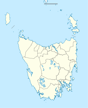  Kelso | |
| Coordinates | 41°6′20″S 146°47′0″E / 41.10556°S 146.78333°ECoordinates: 41°6′20″S 146°47′0″E / 41.10556°S 146.78333°E |
| Postcode(s) | 7270 |
| Elevation | 8.7 m (29 ft)[1] |
| Location |
|
| LGA(s) | West Tamar |
| State electorate(s) | Lyons[2] |
| Federal Division(s) | Lyons |
Kelso is a populated place in northern Tasmania located west of George Town. It was settled in the early 19th century and is located on Kelso Bay, a small bay on the Tamar River. Kelso is known as a fishing resort for flathead, whiting and mullet.[3] Kelso is also located near the Narawntapu National Park.
In the 2006 census, Kelso had a population of 170.[4]
History
Kelso Post Office opened on 1 November 1900 and closed in 1973.[5]
References
- ↑ "Frequently asked questions about Kelso, TAS". Bonzle.com. Retrieved 30 October 2013.
- ↑ "House of Assembly - Lyons". Tasmanian Electoral Commission. Retrieved 26 February 2010.
- ↑ "Winter fishing in the Tamar River". TASFish. Retrieved 26 February 2010.
- ↑ Australian Bureau of Statistics (31 October 2012). "Kelso (State Suburb)". 2011 Census QuickStats. Retrieved 26 February 2010.
- ↑ Premier Postal History. "Post Office List". Premier Postal Auctions. Retrieved 16 June 2012.
This article is issued from Wikipedia - version of the 10/21/2016. The text is available under the Creative Commons Attribution/Share Alike but additional terms may apply for the media files.