Koringberg
| Koringberg | |
|---|---|
|
Koringberg | |
  Koringberg  Koringberg  Koringberg
| |
| Coordinates: 33°02′S 18°40′E / 33.033°S 18.667°ECoordinates: 33°02′S 18°40′E / 33.033°S 18.667°E | |
| Country | South Africa |
| Province | Western Cape |
| District | West Coast |
| Municipality | Swartland |
| Area[1] | |
| • Total | 3.86 km2 (1.49 sq mi) |
| Population (2011)[1] | |
| • Total | 1,214 |
| • Density | 310/km2 (810/sq mi) |
| Racial makeup (2011)[1] | |
| • Black African | 3.2% |
| • Coloured | 84.9% |
| • Indian/Asian | 0.1% |
| • White | 11.3% |
| • Other | 0.5% |
| First languages (2011)[1] | |
| • Afrikaans | 95.5% |
| • English | 3.8% |
| • Other | 0.7% |
| PO box | 7312 |

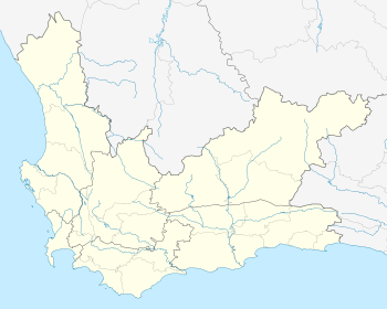
Koringberg is a settlement in West Coast District Municipality in the Western Cape province of South Africa.
Village 146 km north-north-east of Cape Town and 17 km north of Moorreesburg. Founded at Warren’s Camp in 1923, it was thus named because it is situated in a wheat growing area. The name is Afrikaans and means ‘wheat mountain’.[2]
References
- 1 2 3 4 "Main Place Koringberg". Census 2011.
- ↑ "Dictionary of Southern African Place Names (Public Domain)". Human Science Research Council. p. 259.
Municipalities and communities of West Coast District Municipality, Western Cape | ||
|---|---|---|
District seat: Moorreesburg | ||
| Matzikama | .svg.png) | |
| Cederberg | ||
| Bergrivier | ||
| Saldanha Bay | ||
| Swartland | ||
This article is issued from Wikipedia - version of the 10/2/2016. The text is available under the Creative Commons Attribution/Share Alike but additional terms may apply for the media files.