Kunin, Lebanon
| Kunin كونين | |
|---|---|
| Village | |
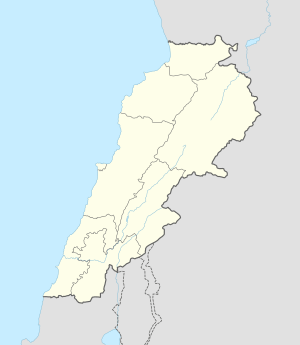  Kunin Location within Lebanon | |
| Coordinates: 33°08′56″N 35°26′17″E / 33.14889°N 35.43806°ECoordinates: 33°08′56″N 35°26′17″E / 33.14889°N 35.43806°E | |
| Grid position | 191/283 PAL |
| Country |
 Lebanon Lebanon |
| Governorate | Nabatieh Governorate |
| District | Bint Jbeil District |
| Elevation | 710 m (2,330 ft) |
| Time zone | EET (UTC+2) |
| • Summer (DST) | EEST (UTC+3) |
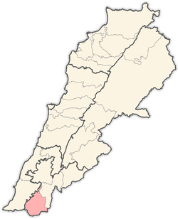
Kunin (Arabic: كونين) is a Lebanese municipality located in Bint Jbeil District, south-east of Tebnine.
Name
E. H. Palmer wrote that the name Kunin came from a personal name.[1]
History
In 1875, Victor Guérin gives the population of this place at 400, divided between Moslems and Metawileh.[2]
In 1881, the Palestine Exploration Fund's Survey of Western Palestine (SWP) described it as: "A village, built of stone, containing about 200 Metawileh ; it is situated on ridge, with olives and arable land around ; water from cisterns in the village and from a large birket."[3] They further noted: "There are two round and two octagonal pillars at this village, remains of old materials, and a lintel measuring 17' long and bearing a Greek inscription. There are also several cisterns and a large birkeh. The inscription on the lintel is probably the common formula, KYPIE BOHΘH ("Help, Lord")."[4]
References
Bibliography
- Conder, Claude Reignier; Kitchener, H. H. (1881). The Survey of Western Palestine: Memoirs of the Topography, Orography, Hydrography, and Archaeology. 1. London: Committee of the Palestine Exploration Fund.
- Guérin, Victor (1880). Description Géographique Historique et Archéologique de la Palestine (in French). 3: Galilee, pt. 2. Paris: L'Imprimerie Nationale.
- Palmer, E. H. (1881). The Survey of Western Palestine: Arabic and English Name Lists Collected During the Survey by Lieutenants Conder and Kitchener, R. E. Transliterated and Explained by E.H. Palmer. Committee of the Palestine Exploration Fund.
External links
- Kounine, Localiban
- Survey of Western Palestine, Map 4: IAA, Wikimedia commons

Capital: Bint Jbeil | ||
| Towns and villages |
|  |
| Notable landmarks | ||
| Other sites | ||