Kuhi
This article is about a town in Nagpur, India. For haiku stones known as kuhi, see Kuhi (disambiguation).
| Kuhi | |
|---|---|
| Town and Tehsil | |
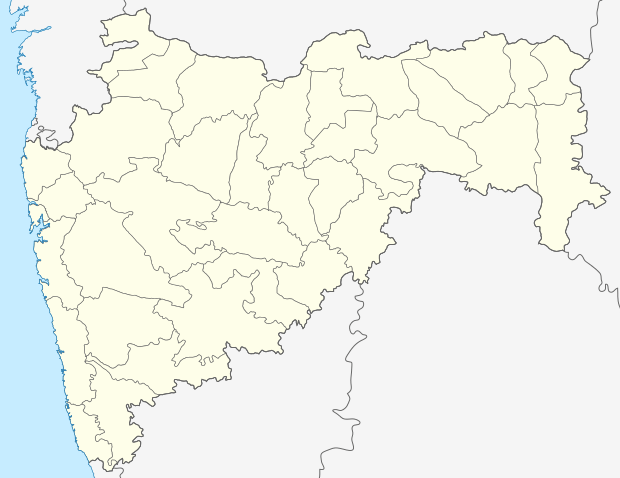  Kuhi Location in Maharashtra, India | |
| Coordinates: 21°00′39″N 79°21′09″E / 21.0108242°N 79.3524241°ECoordinates: 21°00′39″N 79°21′09″E / 21.0108242°N 79.3524241°E | |
| Country |
 India India |
| State | Maharashtra |
| District | Nagpur |
| Government | |
| • Body | Nagarpanchayat |
| Area | |
| • Total | 794.9588 km2 (306.9353 sq mi) |
| Population (1991) | |
| • Total | 110,677 |
| • Density | 139.22/km2 (360.6/sq mi) |
| Languages | |
| • Official | Marathi |
| Time zone | IST (UTC+5:30) |
| PIN | 441202 |
| Telephone code | 07100 |
| Vehicle registration | MH-40 |
| Nearest city | Mandhal, Umrer, Nagpur |
| Lok Sabha constituency | Ramtek |
| Civic agency | Nagarpanchayat |
Kuhi is a town and a tehsil in the Umred subdivision of the Nagpur district in Nagpur, India. Kuhi is two town areas. One is Kuhi and other is Bhojapur.[1] It comes under the revenue division of Berar region in the state of Maharashtra.
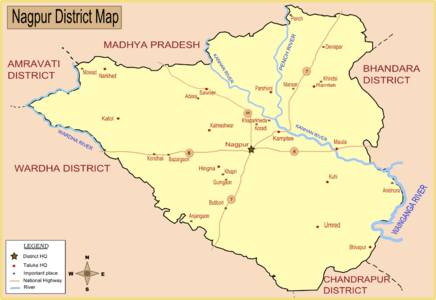
Map of Nagpur district showing Kuhi.
It is located along the banks of Nag River
References
- ↑ "Administrative divisions of Nagpur district". National Informatic Center. Government of Maharashtra. Retrieved 2009-01-09.
This article is issued from Wikipedia - version of the 11/18/2016. The text is available under the Creative Commons Attribution/Share Alike but additional terms may apply for the media files.