Kyunsu Township
| Kyunsu Township Kanmaw Township | |
|---|---|
| Township | |
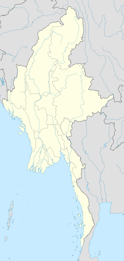  Kyunsu Township Location in Burma | |
| Coordinates: 11°48′6″N 98°31′32″E / 11.80167°N 98.52556°ECoordinates: 11°48′6″N 98°31′32″E / 11.80167°N 98.52556°E | |
| Country |
 Burma Burma |
| Region | Taninthayi Region |
| District | Myeik District |
| Capital | Kyunsu |
| Time zone | MST (UTC+6.30) |
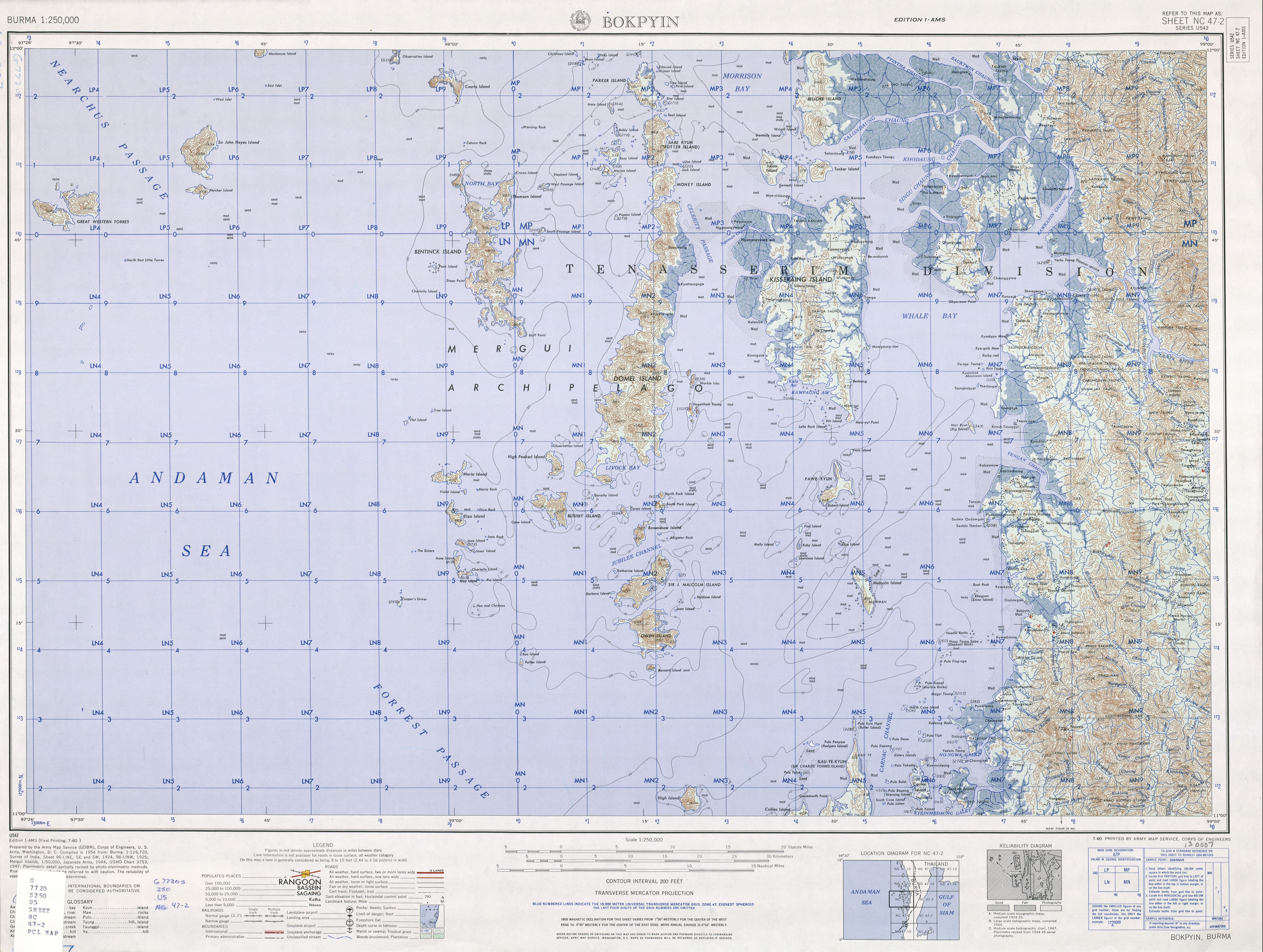
Kyunsu or Kanmaw Township is a township of Myeik District in the Taninthayi Division of Myanmar. The principal town is Kyunsu (older name Kanmaw[1]). The township constitutes much of the Mergui Archipelago to the west, northwest and southwest of the city of Mergui (Myeik).[2] The main town is located on the north-east coast of Kanmaw Island to the southwest of Mergui city.[3][4]
History
Kyunsu Township was created out of Mergui Township in 1990,[5] the remainder of which became Myeik Township.
References
- ↑ "Burma 1:250,000 topographic map, Series U542, Bokpyin NC 47-2" U.S. Army Map Service, July 1960
- ↑ Kyunsu Township (PDF) (Map). Myanmar Information Management Unit. Retrieved November 13, 2010.
- ↑ Google Maps (Map). Google.
- ↑ Bing Maps (Map). Microsoft and Harris Corporation Earthstar Geographics LLC.
- ↑ Südostasien Aktuell (Journal of current southeast Asian affairs) volume 18 page 199, in German
External links
Capital: Dawei | ||
| Dawei District |   | |
| Kawthaung District |
| |
| Myeik District | ||
| Main cities and towns | ||
This article is issued from Wikipedia - version of the 10/22/2016. The text is available under the Creative Commons Attribution/Share Alike but additional terms may apply for the media files.