La Plata Airport
| La Plata Airport Aeropuerto de La Plata | |||||||||||||||
|---|---|---|---|---|---|---|---|---|---|---|---|---|---|---|---|
| IATA: LPG – ICAO: SADL | |||||||||||||||
| Summary | |||||||||||||||
| Airport type | Civil | ||||||||||||||
| Owner | Dirección Provincial de Aeronavegación Oficial y Planificación Aeroportuaria (DPAO) | ||||||||||||||
| Serves | La Plata | ||||||||||||||
| Location | La Plata | ||||||||||||||
| Elevation AMSL | 72 ft / 22 m | ||||||||||||||
| Coordinates | 34°58′20″S 57°53′41″W / 34.97222°S 57.89472°WCoordinates: 34°58′20″S 57°53′41″W / 34.97222°S 57.89472°W | ||||||||||||||
| Map | |||||||||||||||
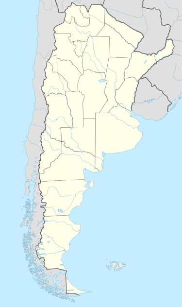  LPG Location of the airport in Argentina | |||||||||||||||
| Runways | |||||||||||||||
| |||||||||||||||
La Plata Airport (Spanish: Aeropuerto de La Plata) (IATA: LPG, ICAO: SADL) is an airport serving La Plata, the capital city of the Buenos Aires Province, Argentina. It is located 5 kilometres (3.1 mi) southeast of the centre of the city, and has a 60-square-metre (650 sq ft) terminal.[1]
See also
References
- 1 2 "Aeropuerto de La Plata" [La Plata Airport]. Organismo Regulador del Sistema Nacional de Aeropuertos (ORSNA) (in Spanish). Retrieved 21 February 2012.
- ↑ Airport information for La Plata Airport at World Aero Data. Data current as of October 2006.
External links
This article is issued from Wikipedia - version of the 12/4/2016. The text is available under the Creative Commons Attribution/Share Alike but additional terms may apply for the media files.