La Roca de la Sierra
| La Roca de la Sierra | ||
|---|---|---|
| Municipality | ||
| ||
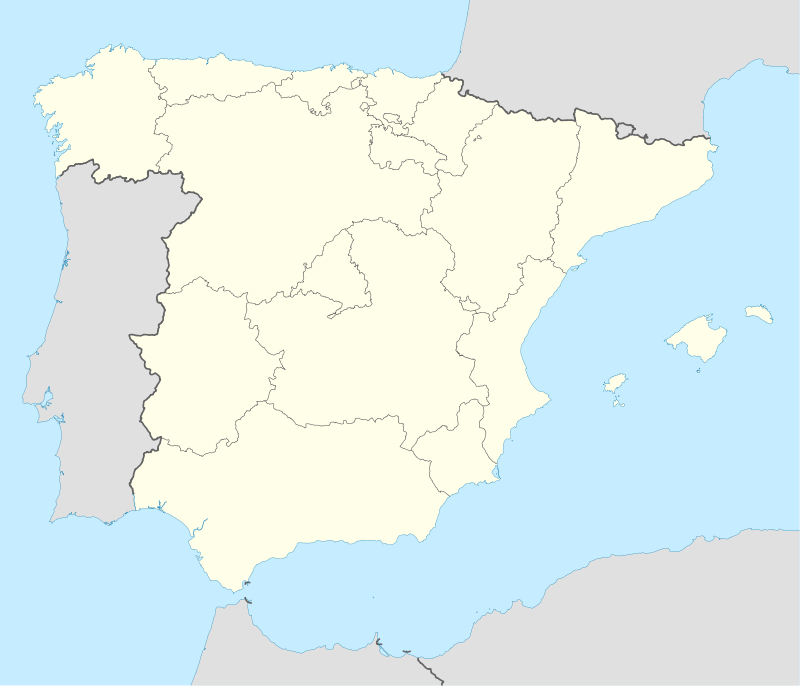  La Roca de la Sierra Location in Spain | ||
| Coordinates: 39°6′33″N 6°41′25″W / 39.10917°N 6.69028°W | ||
| Country |
 Spain Spain | |
| Autonomous Community |
.svg.png) Extremadura Extremadura | |
| Province | Badajoz | |
| Comarca | Tierra de Mérida - Vegas Bajas | |
| Government | ||
| • Mayor | Alfonso González Almunia (IU) | |
| Area | ||
| • Total | 110 km2 (40 sq mi) | |
| Elevation(AMSL) | 248 m (814 ft) | |
| Population (2012) | ||
| • Total | 1,524 | |
| • Density | 14/km2 (36/sq mi) | |
| Time zone | CET (UTC+1) | |
| • Summer (DST) | CEST (GMT +2) (UTC+2) | |
| Postal code | 06190 | |
| Area code(s) | +34 (Spain) + 924 (Badajoz) | |
| Website | www.larocadelasierra.es | |
La Roca de la Sierra is a municipality in the province of Badajoz, Extremadura, Spain. It has a population of 1,579 and an area of 108.58 km². It is the location of the Monastery of San Isidro de Loriana, a Bien de Interes Cultural in a state of ruin.[1][2]
References
- ↑ "San Isidro de Loriana, un monasterio franciscano abandonado". Retrieved 15 March 2014.
- ↑ Iglesias Aunión, Pablo (1999). "Monasterio de San Isidro de Loriana". Senderos de Extremadura. Retrieved 15 March 2014.
Coordinates: 39°6′30″N 6°41′20″W / 39.10833°N 6.68889°W
This article is issued from Wikipedia - version of the 1/25/2016. The text is available under the Creative Commons Attribution/Share Alike but additional terms may apply for the media files.