Laguna San Raphael Airport
| Laguna San Raphael Airport | |||||||||||
|---|---|---|---|---|---|---|---|---|---|---|---|
| IATA: none – ICAO: SCRF | |||||||||||
| Summary | |||||||||||
| Airport type | Public | ||||||||||
| Serves | Laguna San Raphael | ||||||||||
| Location |
 Chile Chile | ||||||||||
| Elevation AMSL | 20 ft / 6 m | ||||||||||
| Coordinates | 46°38′22.8″S 073°51′42.6″W / 46.639667°S 73.861833°WCoordinates: 46°38′22.8″S 073°51′42.6″W / 46.639667°S 73.861833°W | ||||||||||
| Map | |||||||||||
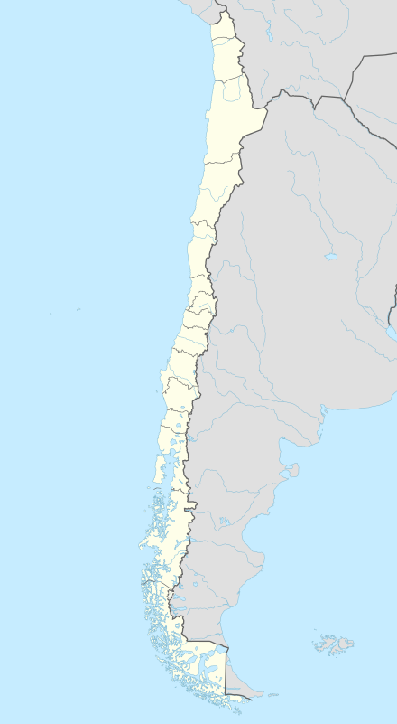  SCRF Location of Laguna San Raphael Airport in Chile | |||||||||||
| Runways | |||||||||||
| |||||||||||
Laguna San Raphael Airport (ICAO: SCRF) is a public use airport located near Laguna San Raphael, Aisén del General Carlos Ibañez del Campo, Chile.
See also
References
- ↑ Airport record for Laguna San Raphael Airport at Landings.com. Retrieved 2013-09-07
- ↑ Google (2013-09-07). "location of Laguna San Raphael Airport" (Map). Google Maps. Google. Retrieved 2013-09-07.
External links
- Airport record for Laguna San Raphael Airport at Landings.com
This article is issued from Wikipedia - version of the 11/9/2016. The text is available under the Creative Commons Attribution/Share Alike but additional terms may apply for the media files.