Lakkaraju Garlapadu
| Lakkaraju Garlapadu లక్కరాజు గార్లపాడు | |
|---|---|
| Village | |
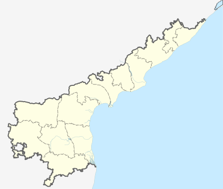  Lakkaraju Garlapadu  Lakkaraju Garlapadu Location in Andhra Pradesh, India | |
| Coordinates: 16°31′N 79°44′E / 16.52°N 79.74°ECoordinates: 16°31′N 79°44′E / 16.52°N 79.74°E | |
| Country | India |
| State | Andhra Pradesh |
| District | Guntur |
| Population (2011) | |
| • Total | 4,203 |
| Languages | |
| • Official | Telugu |
| Time zone | IST (UTC+5:30) |
| PIN | 522403 |
| Telephone code | 08641 |
| Vehicle registration | AP 07 |
| Lok Sabha constituency | Narasaraopet |
| Vidhan Sabha constituency | Sattenapalli |
Lakkaraju Garlapadu is a village in Guntur district of the Indian state of Andhra Pradesh. It is located in Sattenapalle mandal of Guntur revenue division.[1] It is a part of Andhra Pradesh Capital Region.[2]
Geography
Lakkaraju Garlapadu is located at coordinates:16°52'78"N 79°74'98"E geographically.
Demography
Telugu is the local language. The village of Lakkaraju Garlapadu covers an area of about 1682 hectares. As of 2011 India census, Lakkaraju Garlapadu had a population of 4203, with 2075 men and 2128 women living in 947 houses.[3]
Transport
Sattenapalli is the nearest railway station.
References
- ↑ "District Level Mandal wise List of Villages in Andhra Pradesh" (PDF). Chief Commissioner of Land Administration. Retrieved 23 June 2016.
- ↑ "AP Capital Region mandals and villages" (PDF). Andhra Pradesh Capital Region Development Authority. Government of Andhra Pradesh. Retrieved 23 September 2015.
- ↑ "Census of India: View Population Details". censusindia.gov.in. Retrieved 11 April 2014.
This article is issued from Wikipedia - version of the 10/2/2016. The text is available under the Creative Commons Attribution/Share Alike but additional terms may apply for the media files.