Langwarrin South, Victoria
| Langwarrin South Melbourne, Victoria | |||||||||||||
|---|---|---|---|---|---|---|---|---|---|---|---|---|---|
  Langwarrin South | |||||||||||||
| Coordinates | 38°11′20″S 145°11′20″E / 38.189°S 145.189°ECoordinates: 38°11′20″S 145°11′20″E / 38.189°S 145.189°E | ||||||||||||
| Population | 1,003 (2006 census)[1] | ||||||||||||
| Postcode(s) | 3911 | ||||||||||||
| Location | 47 km (29 mi) from Melbourne | ||||||||||||
| LGA(s) | City of Frankston | ||||||||||||
| State electorate(s) | Hastings | ||||||||||||
| Federal Division(s) | |||||||||||||
| |||||||||||||
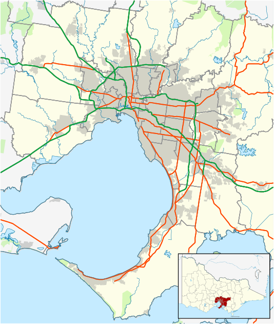
Langwarrin South is an official bounded locality in Melbourne, Victoria, Australia, 47 km south-east from Melbourne's central business district. Its local government area is the City of Frankston. At the 2006 Census, Langwarrin South had a population of 1003.
Langwarrin South is bounded in the north by Robinsons Road, in the east by Dandenong-Hastings Road, in the south by Golf Links and Baxter-Tooradin Roads and in the west by the route of the proposed extension of the Mornington Peninsula Freeway.
See also
- City of Frankston - the local government area of which Langwarrin South is a part.
- List of Frankston people - notable people from the City of Frankston (including Langwarrin South).
References
- ↑ Australian Bureau of Statistics (25 October 2007). "Langwarrin South (State Suburb)". 2006 Census QuickStats. Retrieved 31 March 2009.
This article is issued from Wikipedia - version of the 11/2/2015. The text is available under the Creative Commons Attribution/Share Alike but additional terms may apply for the media files.