Leányfalu
| Leányfalu | |
|---|---|
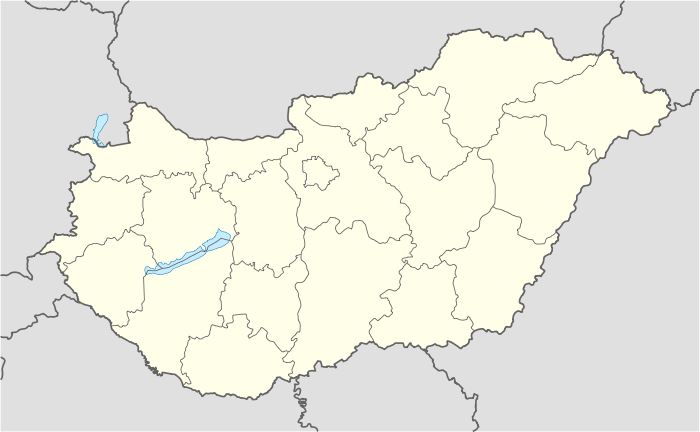  Leányfalu Location of Leányfalu | |
| Coordinates: 47°43′36″N 19°5′22″E / 47.72667°N 19.08944°ECoordinates: 47°43′36″N 19°5′22″E / 47.72667°N 19.08944°E | |
| Country |
 Hungary Hungary |
| County | Pest |
| Area | |
| • Total | 15.37 km2 (5.93 sq mi) |
| Population (2007) | |
| • Total | 3,159 |
| • Density | 168.45/km2 (436.3/sq mi) |
| Time zone | CET (UTC+1) |
| • Summer (DST) | CEST (UTC+2) |
| Postal code | 2016 |
| Area code(s) | 26 |
| Website |
www |
Leányfalu is a riverside village in Pest county, Budapest metropolitan area, Hungary. It is just north of Szentendre located at 47°43′36″N 19°5′22″E / 47.72667°N 19.08944°E. Located between the branch of the Small Danube (Kis-Duna) and the spurs of the Visegrád Hills, Leányfalu stretches some 5 kilometres in length. Declared a holiday resort in 1936, it became an independent municipality in 1949.
To visit Leányfalu from Budapest, take the local Volán buses on the Budapest Árpád Bridge – Tahitótfalu – Visegrád – Esztergom line, which leaves around one to three times an hour. By automobile, take route 11 passing through Szentendre.
Trivia
- Some of the best Hungarian writers, artists and musicians have retreated to Leányfalu.
- The village received media attention in the Ciaran Tobin extradition case.
Gallery


External links
This article is issued from Wikipedia - version of the 3/16/2013. The text is available under the Creative Commons Attribution/Share Alike but additional terms may apply for the media files.