Lecques
| Lecques | |
|---|---|
|
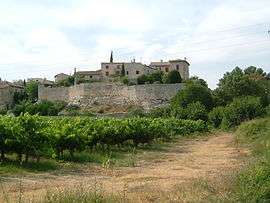
View of Lecques from the south | |
  Lecques | |
|
Location within Occitanie region 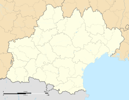 Lecques | |
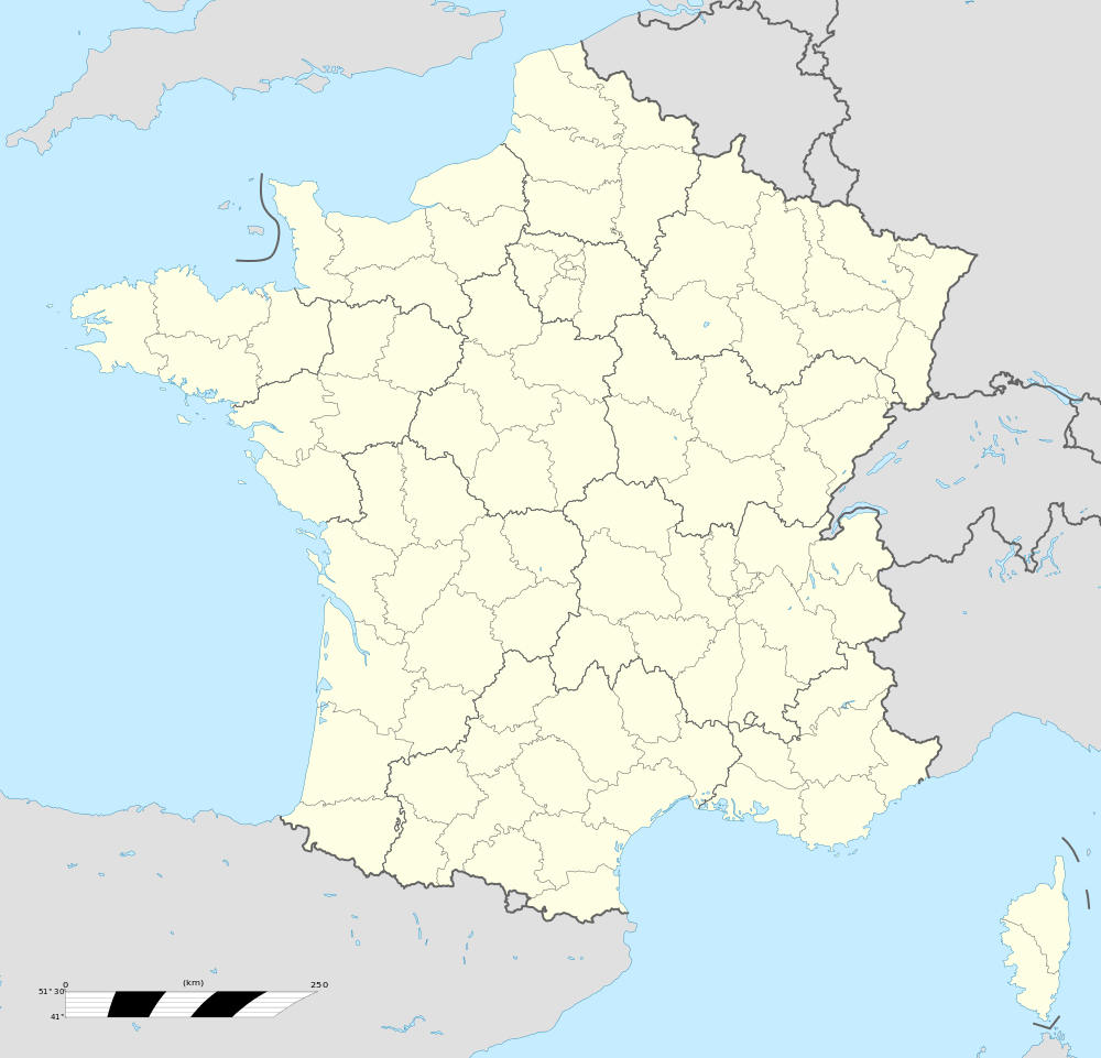
| Coordinates: 43°50′16″N 4°03′50″E / 43.8378°N 4.0639°ECoordinates: 43°50′16″N 4°03′50″E / 43.8378°N 4.0639°E | |
| Country | France |
| Region | Occitanie |
| Department | Gard |
| Arrondissement | Nîmes |
| Canton | Sommières |
| Intercommunality | Pays de Sommières |
| Government | |
| • Mayor (2001–2008) | Yves Bez |
| Area1 | 5.2 km2 (2.0 sq mi) |
| Population (2008)2 | 371 |
| • Density | 71/km2 (180/sq mi) |
| Time zone | CET (UTC+1) |
| • Summer (DST) | CEST (UTC+2) |
| INSEE/Postal code | 30144 / 30250 |
| Elevation |
26–111 m (85–364 ft) (avg. 50 m or 160 ft) |
|
1 French Land Register data, which excludes lakes, ponds, glaciers > 1 km² (0.386 sq mi or 247 acres) and river estuaries. 2 Population without double counting: residents of multiple communes (e.g., students and military personnel) only counted once. | |
Lecques is a commune in the Gard department in southern France.
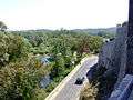
It is built on rising ground, on the west bank of the River Vidourle, 6 km (3.7 mi) to the north and upstream of Sommières. The village centre is on a rocky outcrop that overhangs the bank of the river.[1] Steps lead down to the bridge. Its elevation means it is protected from the 'vidourlades' or violent floods, for example, that of 9 September 2002.[2] There are remains of the ramparts, the narrow medieval streets and a church.
Etymology
The name 'Lecques' comes from the Celtic word 'leucas', meaning a settlement by a marker post on an ancient track.[1]
Population
| Historical population | ||
|---|---|---|
| Year | Pop. | ±% |
| 1962 | 191 | — |
| 1968 | 203 | +6.3% |
| 1975 | 165 | −18.7% |
| 1982 | 182 | +10.3% |
| 1990 | 215 | +18.1% |
| 1999 | 216 | +0.5% |
| 2008 | 371 | +71.8% |
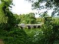 The bridge and River Vidourle
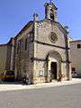 The church in the village
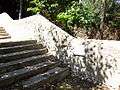 Steps from village to river, with markers of flood levels
 Swimming in the river
See also
References
External links
 |
Wikimedia Commons has media related to Lecques. |
- Lecques on the Quid website (in French)
- Lecques and its neighbouring communes on a map of France
- Lecques on Mapquest
This article is issued from Wikipedia - version of the 6/7/2015. The text is available under the Creative Commons Attribution/Share Alike but additional terms may apply for the media files.