Lik'ichiri
| Lik'ichiri | |
|---|---|
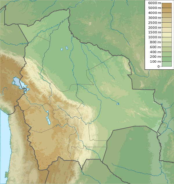  Lik'ichiri Location in Bolivia | |
| Highest point | |
| Elevation | 4,086 m (13,406 ft) [1] |
| Coordinates | 19°28′50″S 65°43′30″W / 19.48056°S 65.72500°WCoordinates: 19°28′50″S 65°43′30″W / 19.48056°S 65.72500°W |
| Geography | |
| Location |
Bolivia Potosí Department, Tomás Frías Province |
| Parent range | Andes |
Lik'ichiri (Aymara lik'i fat, grease, fatness[2] -chiri a suffix, "fat remover", lik'ichiri a supernatural creature of the Andean cultures,[3] hispanicized spelling Likhichiri, equivalent to pishtaco)[4] is a mountain in the Andes of Bolivia in the Potosí Department, Tomás Frías Province, Potosí Municipality.[5] It lies north of Potosí and the river Samasa and east of the village Tarapaya. Lik'ichiri is about 4,086 metres (13,406 ft) high.
References
- ↑ BIGM map 1.50,000 6435-I Don Diego (Linkhichiri 4,086 m)
- ↑ Radio San Gabriel, "Instituto Radiofonico de Promoción Aymara" (IRPA) 1993, Republicado por Instituto de las Lenguas y Literaturas Andinas-Amazónicas (ILLLA-A) 2011, Transcripción del Vocabulario de la Lengua Aymara, P. Ludovico Bertonio 1612 (Spanish-Aymara-Aymara-Spanish dictionary)
- ↑ unexplained-mysteries.com Andean Fat Stealers
- ↑ Gilles Rivière. Lik'ichiri y kharisiri. A propósito de las representaciones del "otro" en la sociedad aymara. Bulletin de l'IFEA 20(1), 1991, Lima, pp. 23–40.
- ↑ lib.utexas.edu Map of the area (Likhichiri)
Capital: Potosí | ||
| Provinces |  | |
| Municipalities (and seats) |
| |

This article is issued from Wikipedia - version of the 12/6/2015. The text is available under the Creative Commons Attribution/Share Alike but additional terms may apply for the media files.