Limpy Creek
| Limpy Creek | |
| Country | United States |
|---|---|
| State | Oregon |
| County | Douglas |
| Source | Limpy Mountain |
| - location | Umpqua National Forest |
| - elevation | 3,300 ft (1,006 m) [1] |
| - coordinates | 43°14′38″N 122°41′12″W / 43.24389°N 122.68667°W [2] |
| Mouth | North Umpqua River |
| - elevation | 1,342 ft (409 m) [2] |
| - coordinates | 43°18′07″N 122°40′50″W / 43.30194°N 122.68056°WCoordinates: 43°18′07″N 122°40′50″W / 43.30194°N 122.68056°W [2] |
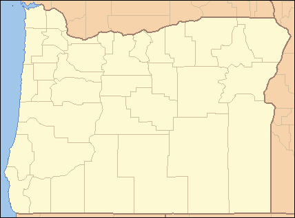  Location of the mouth of Limpy Creek in Oregon | |
Limpy Creek is a tributary of the North Umpqua River in Douglas County, in the U.S. state of Oregon.[2]
Limpy Creek was named for a local Native American who walked with a limp.[3] Oregon Geographic Names says that Limpy Creek, Limpy Prairie, and other natural features in the area are all named for the same man, who lived along the Little River,[4] another tributary of the North Umpqua River.
See also
References
- ↑ Source elevation derived from Google Earth search using GNIS source coordinates.
- 1 2 3 4 "Limpy Creek". Geographic Names Information System. United States Geological Survey (USGS). November 28, 1980. Retrieved November 5, 2015.
- ↑ Bright, William (2004). Native American Placenames of the United States. University of Oklahoma Press. p. 252. ISBN 978-0-8061-3598-4.
- ↑ McArthur, Lewis A.; McArthur, Lewis L. (2003) [1928]. Oregon Geographic Names (7th ed.). Portland, Oregon: Oregon Historical Society Press. p. 578. ISBN 0-87595-277-1.
This article is issued from Wikipedia - version of the 10/12/2016. The text is available under the Creative Commons Attribution/Share Alike but additional terms may apply for the media files.