Lingayapalem
| Lingayapalem లింగాయపాలెం | |
|---|---|
| Neighbourhood | |
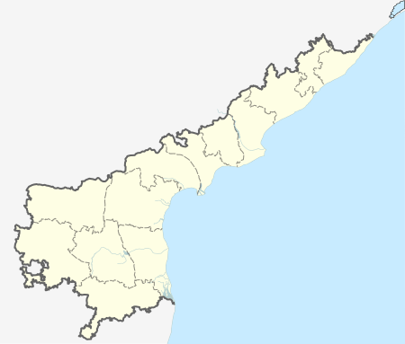  Lingayapalem Location in Andhra Pradesh, India | |
| Coordinates: 16°25′26″N 80°19′33″E / 16.4240°N 80.3259°ECoordinates: 16°25′26″N 80°19′33″E / 16.4240°N 80.3259°E | |
| Country | India |
| State | Andhra Pradesh |
| District | Guntur |
| Mandal | Thullur |
| Area[1] | |
| • Total | 7.98 km2 (3.08 sq mi) |
| Population (2011) | |
| • Total | 1,554 |
| • Density | 190/km2 (500/sq mi) |
| Languages | |
| • Official | Telugu |
| Time zone | IST (UTC+5:30) |
| PIN | 522 504 |
| Telephone code | +91–8645 |
| Vehicle registration | AP-07 |
Lingayapalem is a neighbourhood and a part of Urban Notified Area of Amaravati, the state capital of the Indian state of Andhra Pradesh.[2] It was a village in Thullur mandal of in Guntur district, prior to its denotification as gram panchayat.[1][3]
Demographics
As of 2011 Census of India, the village had a population of 1,554, of which males are 768, females are 786 with average sex ratio 1023 and the population under 6 years of age are 136. The average literacy rate stands at 56.75 percent, with 882 literates.[1]
Transport
Lingayapalem is located on the Vijayawada and Amaravathi routes. APSRTC run buses provide transport services from Vijayawada to Lingayapalem.
References
- 1 2 3 "District Census Handbook – Guntur" (PDF). Census of India. p. 14,258. Retrieved 27 December 2015.
- ↑ "New Andhra capital Amaravati to compete for Smart City tag". The New Indian Express. 25 May 2016. Retrieved 6 June 2016.
- ↑ "Declaration of A.P. Capital City Area–Revised orders" (PDF). Andhra Nation. Municipal Administration and Urban Development Department. 22 September 2015. Retrieved 21 February 2016.
This article is issued from Wikipedia - version of the 8/22/2016. The text is available under the Creative Commons Attribution/Share Alike but additional terms may apply for the media files.