List of Interstate Highways in Iowa
|
Highway markers for I-29, I-680, and I-35 Bus. Loop | |
| System information | |
|---|---|
| Formed: | August 14, 1957[1] |
| Highway names | |
| Interstates: | Interstate X (I-X) |
| Business Loops: | Interstate X Business (I-X Bus.) |
| System links | |
.svg.png)
.svg.png)
Interstate Highways in Iowa form a network of freeways that cross the state.
Primary Interstates
| Number | Length (mi) | Length (km) | Southern or western terminus | Northern or eastern terminus | Formed | Removed | Notes |
|---|---|---|---|---|---|---|---|
 I-29 I-29 |
151.826 | 244.340 | I-29 at Hamburg | I-29 at Sioux City | 1958 | current | All of I-29 is part of the Lewis & Clark Trail; completed in 1972[2] |
 I-35 I-35 |
218.432 | 351.532 | I-35 near Lamoni | I-35 near Albert Lea, Minn. | 1958 | current | |
 I-74 I-74 |
5.386 | 8.668 | I-80 at Davenport | I-74 / US 6 at Bettendorf | 1968 | current | |
 I-80 I-80 |
306.268 | 492.891 | I-80 at Council Bluffs | I-80 at LeClaire | 1958 | current | I-80 is the longest Interstate Highway in Iowa; completed in 1972 |
- Primary Interstates
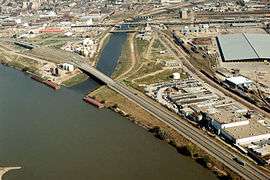 I-29 crossing over the mouth of the Floyd River
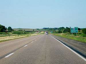 I-35 approaching exit 182
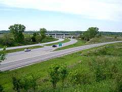 Exit 68 to Iowa Highway 5 on I-35 south of West Des Moines
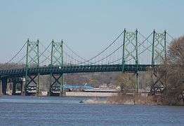 The Interstate 74 Bridge carrying I-74 across the Mississippi River
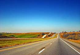 I-80 in western Iowa near Walnut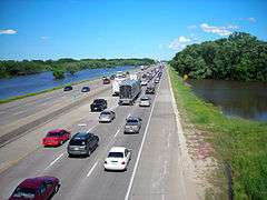
Auxiliary Interstates
| Number | Length (mi) | Length (km) | Southern or western terminus | Northern or eastern terminus | Formed | Removed | Notes | |
|---|---|---|---|---|---|---|---|---|
.svg.png) I-80N I-80N |
16.565 | 26.659 | I-29 at Loveland | I-80 near Neola | 1966 | 1973 | Now the eastern end of I-680, I-80N was a spur from Loveland to Neola | |
 I-129 I-129 |
0.286 | 0.460 | I-129 / US 20 / US 75 at Sioux City | I-29 / US 20 / US 75 at Sioux City | 1976 | current | ||
 I-235 I-235 |
13.816 | 22.235 | I-35 / I-80 at West Des Moines | I-35 / I-80 at Des Moines | 1961 | current | ||
 I-280 I-280 |
9.581 | 15.419 | I-80 / US 6 at Davenport | I-280 at Rock Island, Ill. | 1973 | current | ||
 I-380 I-380 |
73.080 | 117.611 | I-80 / US 218 / Iowa 27 near Coralville | US 218 at Waterloo | 1973 | current | ||
 I-480 I-480 |
0.721 | 1.160 | I-480 / US 6 at Council Bluffs | I-29 / US 6 at Council Bluffs | 1966 | current | ||
 I-680 I-680 |
29.391 | 47.300 | I-680 at Omaha, Nebr. | I-80 near Neola | 1966 | current | ||
| ||||||||
- Auxiliary Interstates
 I‑235 crossing the Des Moines River in Des Moines, Iowa
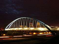 The Edna M. Griffin Memorial Bridge carrying I‑235 across the Des Moines River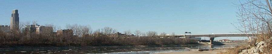
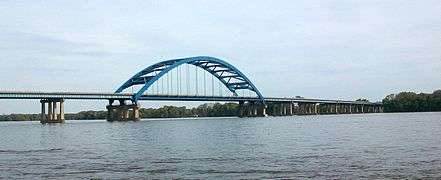 I‑280 crosses the Mississippi River over the Baker Bridge.
Business routes
| Number | Length (mi) | Length (km) | Southern or western terminus | Northern or eastern terminus | Formed | Removed | Notes |
|---|---|---|---|---|---|---|---|
 I-35 Business Loop I-35 Business Loop |
— | — | I-35 / US 30 in Ames | I-35 in Ames | — | — | Serves Ames |
| I-35 Business Loop |
— | — | I-35 / US 18 in Clear Lake | I-35 / US 18 / Iowa 122 in Clear Lake | — | — | Serves Clear Lake |
References
- ↑ Official Route Numbering for the National System of Interstate and Defense Highways (Map). American Association of State Highway Officials. August 14, 1957.
- ↑ Completion Map of Interstate System (PDF) (Map). Iowa Department of Transportation. January 1, 1982. Retrieved September 8, 2010.
External links
 |
Wikimedia Commons has media related to Interstate Highways in Iowa. |
- The Iowa Highways Page by Jason Hancock
- Interstate Guide
This article is issued from Wikipedia - version of the 11/16/2016. The text is available under the Creative Commons Attribution/Share Alike but additional terms may apply for the media files.