Lobito Airport
| Lobito Airport Aeroporto do Lobito | |||||||||||
|---|---|---|---|---|---|---|---|---|---|---|---|
| IATA: LLT – ICAO: FNLB | |||||||||||
| Summary | |||||||||||
| Airport type | Military | ||||||||||
| Location | Lobito, Angola | ||||||||||
| Elevation AMSL | 10 ft / 3 m | ||||||||||
| Coordinates | 12°22′20″S 13°32′15″E / 12.37222°S 13.53750°ECoordinates: 12°22′20″S 13°32′15″E / 12.37222°S 13.53750°E | ||||||||||
| Map | |||||||||||
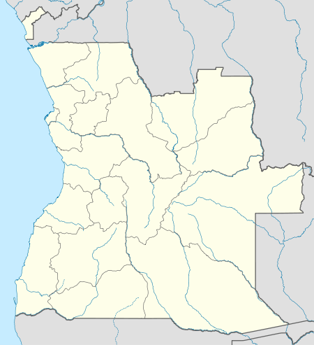  LLT Location of Lobito Airport in Angola | |||||||||||
| Runways | |||||||||||
| |||||||||||
Lobito Airport (Portuguese: Aeroporto do Lobito) (IATA: LLT, ICAO: FNLB) is an airport serving in Lobito, a town and municipality in the Benguela Province of Angola.
Accidents and incidents
- On 15 December 1994, Basler BT-67 N96BF of SL Aviation Services was damaged beyond repair in a take-off accident when flight was attempted with insufficient airspeed. Both crew were killed.[5]
- On 21 August 1995, a Douglas DC-3 that had been converted to turboprop engines was written off at Lobito Airport.[6]
See also
 Angola portal
 Aviation portal
- List of airports in Angola
- Transport in Angola
References
- ↑ Airport information for FNLB from DAFIF (effective October 2006)
- ↑ Airport information for FNLB at Great Circle Mapper.
- ↑ "FNLB @ aerobaticsweb.org". Landings.com. Retrieved 31 July 2013.
- ↑ Google Maps - Lobito
- ↑ "N96BF Accident description". Aviation Safety Network. Retrieved 25 June 2010.
- ↑ Accident history for FNLB at Aviation Safety Network
External links
This article is issued from Wikipedia - version of the 11/27/2016. The text is available under the Creative Commons Attribution/Share Alike but additional terms may apply for the media files.