Loi Tai Leng
| Loi Tai Leng လွယ်တိုင်းလျှံ | |
|---|---|
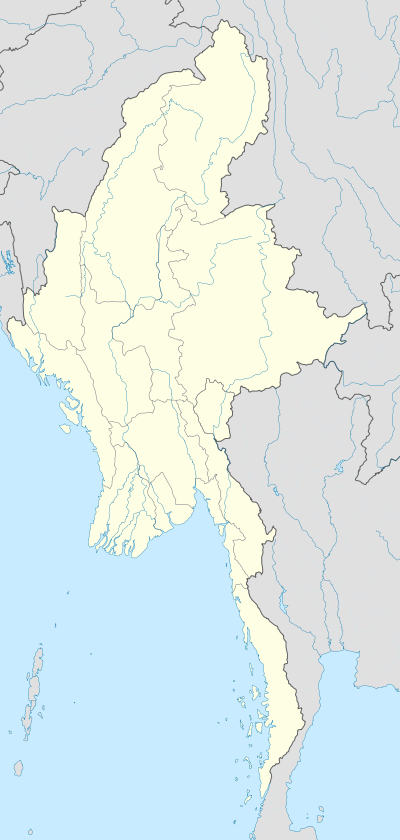  Loi Tai Leng Location in Myanmar (Burma) | |
| Coordinates: 19°44′25″N 98°12′25″E / 19.74028°N 98.20694°ECoordinates: 19°44′25″N 98°12′25″E / 19.74028°N 98.20694°E | |
| Country |
 Myanmar Myanmar |
| Division | Shan State |
| District | Loilen District |
| Township | Mong Pan Township |
| Population | |
| • Ethnicities | Shan (Tai Laing) |
| Time zone | ICT (UTC+07:00) |
Loi Tai Leng (Burmese: လွယ်တိုင်းလျှံ) is a town located in the mountainous region of southern Shan State, Myanmar (Burma). Its southern boundary is the Myanmar-Thailand border.[1]
The headquarters of the Shan State Army - South are located in Loi Tai Leng,[2] and the town is mostly populated by members of the Tai Laing (Tai Leng) subdivision of the Shan people.[1] To avoid confusion, residents use Thailand's timezone instead of Myanmar Standard Time (MMT) which is thirty minutes behind. Residents also prefer to use the Thai baht over the Burmese kyat.[1]
References
- 1 2 3 McLaughlin, Tim (17 February 2014). "In Loi Tai Leng, where the battle for Shan State continues". Myanmar Times. Retrieved 23 November 2016.
- ↑ Otis, Daniel (7 March 2014). "Partying with One of Burma's Largest Rebel Armies | VICE | Canada". VICE. Retrieved 23 November 2016.

This article is issued from Wikipedia - version of the 12/3/2016. The text is available under the Creative Commons Attribution/Share Alike but additional terms may apply for the media files.