Lutembe Bay
| Lutembe Bay | |
|---|---|
| Coordinates | 0°09′15″N 32°34′05″E / 0.1541°N 32.5681°E |
| Basin countries | Uganda |
| Surface elevation | 1,130 metres (3,710 ft) |
| Designated | September 15, 2006 |
| Lutembe Bay | |
|---|---|
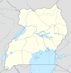  | |
| Nearest city | Entebbe |
| Coordinates | 0°09′15″N 32°34′05″E / 0.1541°N 32.5681°ECoordinates: 0°09′15″N 32°34′05″E / 0.1541°N 32.5681°E |
| Area | 800 hectares (3.1 sq mi) |
| Established | 2006 [1] |
| Governing body | District Government |
Lutembe Bay is a wetland on the edge of Lake Victoria.
Conservation
Lutumbe Bay is one of Uganda's 33 Important Bird Areas and since 2006 a Ramsar-listed wetland of international importance.[1] The bay is notable for its population of as many as 1.5m white-winged tern.[2]
in 2013 a portion of the wetland was illegally filled with soil by the flower export giant Rosebud Ltd.[3]
References
- 1 2 Ramsar Convention on Wetlands. "The Annotated Ramsar List: Uganda". Retrieved 28 June 2012.
- ↑ Byaruhanga, Achilles; Kasoma, Pantaleon; Pomeroy, Derek. "Uganda" (PDF). Country Profiles. BirdLife International. Retrieved 16 August 2013.
- ↑ Muhumuza, Rodney (15 August 2013). "Uganda loses wetland to rose farming business". Miami Herald. AP. Retrieved 16 August 2013.
This article is issued from Wikipedia - version of the 11/19/2016. The text is available under the Creative Commons Attribution/Share Alike but additional terms may apply for the media files.