Mae Ka, Phayao
| Mae Ka แม่กา | |
|---|---|
| Tambon | |
  Mae Ka | |
| Coordinates: 19°5′39″N 99°54′49″E / 19.09417°N 99.91361°E | |
| Country |
 Thailand Thailand |
| Province | Phayao |
| Amphoe | Mueang Phayao |
| Population (2005) | |
| • Total | 17,629 |
| Time zone | Thailand (UTC+7) |
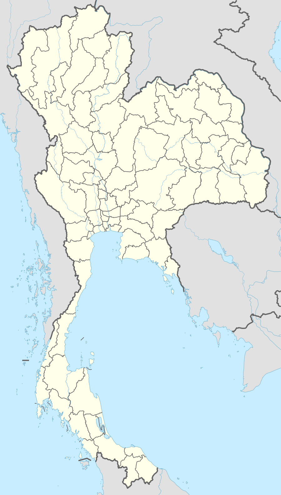
Mae Ka (Thai: แม่กา) is a village and subdistrict (tambon) in Mueang Phayao District, in Phayao Province, Thailand. As of 2005, it has a total population of 17,629 people. It is located in the south-western part of the province not far from the border with Lampang Province. It lies along the National Road 1 (Phahon Yothin Road),[1] and is connected by road to Phayao in the north and Luang Tai in Lampang Province in the south.[2] The University of Phayao lies to the south of the main urban area.
References
- ↑ Kānsư̄sān hǣng Prathēt Thai (1999). Annual report. Communications Authority of Thailand. p. 77. Retrieved 23 January 2012.
- ↑ Maps (Map). Google Maps.
This article is issued from Wikipedia - version of the 10/25/2016. The text is available under the Creative Commons Attribution/Share Alike but additional terms may apply for the media files.