Mahamouda
| Mahamouda | |
|---|---|
| Village | |
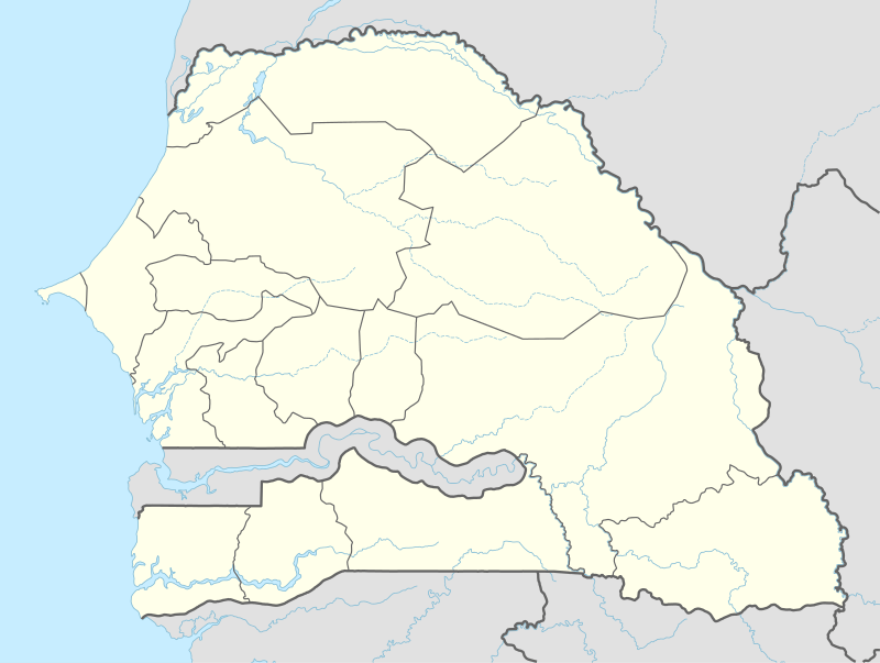  Mahamouda Location in Senegal | |
| Coordinates: 12°58′24″N 16°30′25″W / 12.97333°N 16.50694°WCoordinates: 12°58′24″N 16°30′25″W / 12.97333°N 16.50694°W | |
| Country |
 Senegal Senegal |
| Region | Ziguinchor |
| Department | Bignona |
| Arrondissment | Kataba |
| Commune | Djinaki |
| Population (2002) | |
| • Total | 459 |
| Time zone | GMT (UTC+0) |
Mahamouda or Mahamouda Cherif is a village in the Bignona Department of the Ziguinchor Region of southwestern Senegal. In 2002 the village had a population of 459 people.[1] It lies along the N5 road, which connects it directly to the town of Diouloulou in the northwest.[2]
References
- ↑ "Localité de Mahamouda Cherif". PEPAM. Retrieved 10 September 2016.
- ↑ Google (10 September 2016). "Mahamouda" (Map). Google Maps. Google. Retrieved 10 September 2016.
Capital: Bignona | |
| Arrondissement of Kataba |
|
| Arrondissement of Sindian |
|
| Arrondissement of Tendouck |
|
| Arrondissement of Tenghory |
|
This article is issued from Wikipedia - version of the 11/24/2016. The text is available under the Creative Commons Attribution/Share Alike but additional terms may apply for the media files.