Malcolm Island Airport
| Malcolm Island Airport | |||||||||||
|---|---|---|---|---|---|---|---|---|---|---|---|
| IATA: none – ICAO: none – TC LID: CJS2 | |||||||||||
| Summary | |||||||||||
| Airport type | Private | ||||||||||
| Operator | Arctic Lodge Ltd. | ||||||||||
| Location | Malcolm Island, Saskatchewan | ||||||||||
| Time zone | CST (UTC−06:00) | ||||||||||
| Elevation AMSL | 1,120 ft / 341 m | ||||||||||
| Coordinates | 56°56′58″N 102°14′21″W / 56.94944°N 102.23917°WCoordinates: 56°56′58″N 102°14′21″W / 56.94944°N 102.23917°W | ||||||||||
| Website | http://www.arcticlodges.com | ||||||||||
| Map | |||||||||||
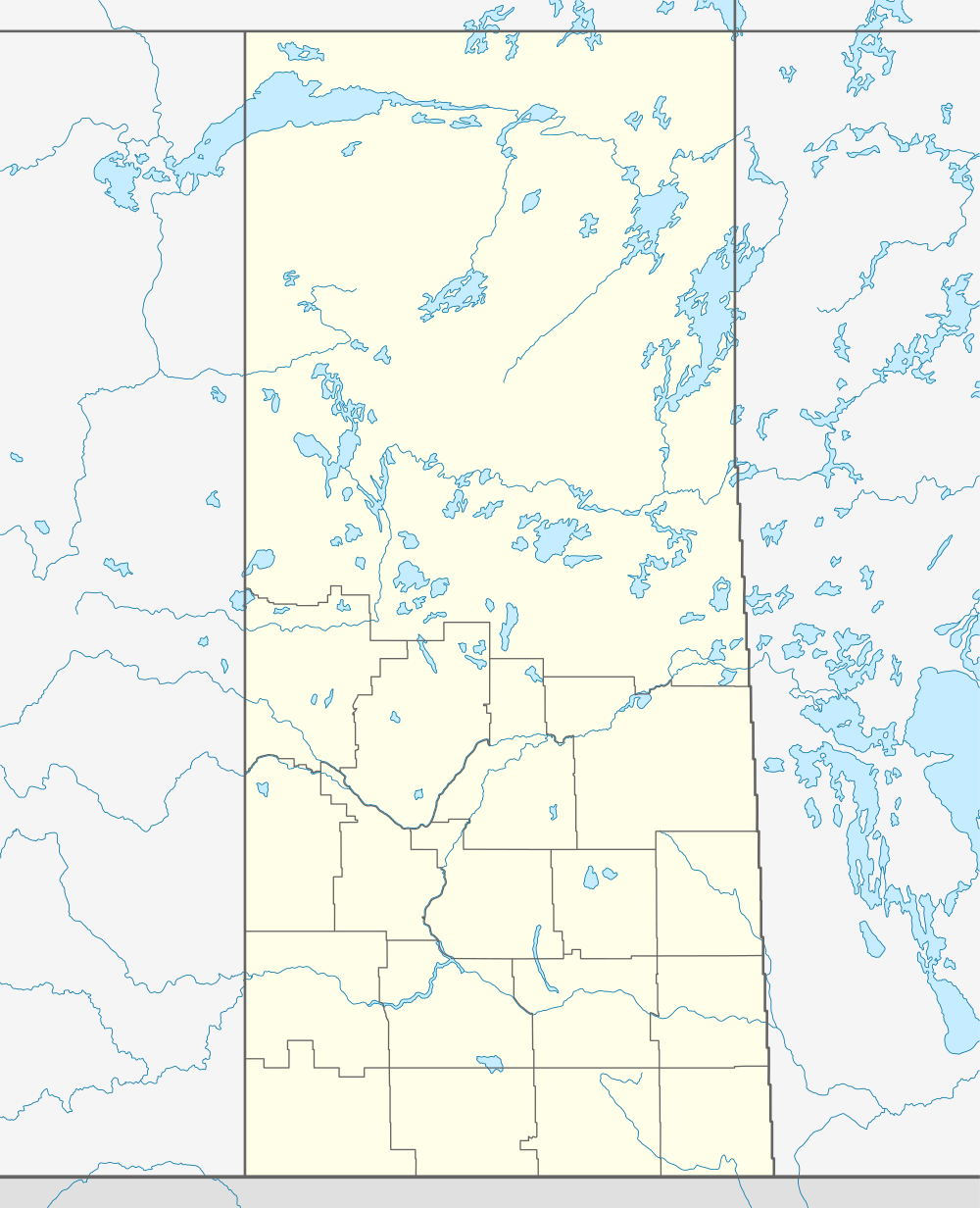  CJS2 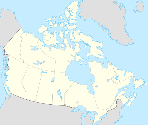 CJS2 Location in Saskatchewan | |||||||||||
| Runways | |||||||||||
| |||||||||||
|
Source: Canada Flight Supplement[1] | |||||||||||
Malcolm Island Airport, (TC LID: CJS2), is an airstrip located on Hydiak Island. Saskatchewan, Canada. Construction began in 1959 by Fred Lockhart and was completed in 1965 with construction taking place over 6 summer seasons. The airstrip is owned and operated by Arctic Lodges Ltd, that operates a fly-in/fly-out fishing lodge on Dewdney island 4 miles to the North West. Malcolm Island Is the large Island to the east.
Previously Reported here as "Malcolm Island Airport, (TC LID: CJS2), is an Airport located on Malcolm Island Saskatchewan, Canada. The airport is owned and operated by Arctic Lodges Ltd, that operates a fly-in/fly-out fishing lodge on the island."
Accidents and incidents
On 10 July 1969, a privately operated Douglas DC-3 N139D crashed on take-off due to the failure to remove control locks before flight was attempted. All 25 people on board survived. The aircraft was operating an international non-scheduled passenger flight to Duluth International Airport, Minnesota, United States.[2]
References
- ↑ Canada Flight Supplement. Effective 0901Z 15 September 2016 to 0901Z 10 November 2016
- ↑ "N139D Accident Description". Aviation Safety Network. Retrieved 14 February 2011.
| By name | |
|---|---|
| By location indicator | |
| By province/territory | |
| By region | |
| National Airports System | |
| Related | |
| |


