Martinsville Fish Dam
For the hydroelectric dam in Martinsville, VA, see Martinsville Dam.
|
Martinsville Fish Dam | |
 | |
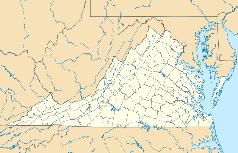   | |
| Nearest city | Martinsville, Virginia |
|---|---|
| Coordinates | 36°39′10.29″N 79°52′17.56″W / 36.6528583°N 79.8715444°WCoordinates: 36°39′10.29″N 79°52′17.56″W / 36.6528583°N 79.8715444°W |
| Area | 1.5 acres (0.61 ha) |
| NRHP Reference # | 74002128[1] |
| Added to NRHP | January 21, 1974 |
The Martinsville Fish Dam is a Native American weir in the Smith River near Martinsville, Virginia. The weir is a rough wall of piled rocks in a V shape with the point of the V downstream. At an opening in that point a basket could be used to catch fish that were funneled to that point by the walls of the weir.[2]
The dam was listed on the National Register of Historic Places in 1974.[1]
See also
References
- 1 2 National Park Service (2010-07-09). "National Register Information System". National Register of Historic Places. National Park Service.
- ↑ Loth, Calder (ed) (1999). The Virginia Landmarks Register. Virginia Department of Historic Resources. p. 231.

This article is issued from Wikipedia - version of the 11/30/2016. The text is available under the Creative Commons Attribution/Share Alike but additional terms may apply for the media files.