Maury Mountains
| Maury Mountains | |
|---|---|
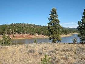 Antelope Flat Reservoir in the Maury Mountains | |
| Highest point | |
| Elevation | 1,844 m (6,050 ft) |
| Geography | |
| Country | United States |
| State | Oregon |
| District | Crook County |
| Range coordinates | 44°01′58″N 120°25′06″W / 44.0329°N 120.4183°WCoordinates: 44°01′58″N 120°25′06″W / 44.0329°N 120.4183°W |
| Topo map | USGS Mule Deer Ridge |
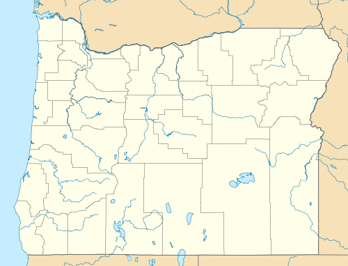

The Maury Mountains are a mountain range in Crook County, Oregon.[1] Much of the range is within the Ochoco National Forest. Outstanding features of the range are the Maury Mountains Agate Beds and Antelope Flat Reservoir.[2]
References
- 1 2 "Maury Mountains". Geographic Names Information System. United States Geological Survey.
- ↑ Witty, Jim (October 13, 2006). "Maury Mountains". The Bulletin. Bend, Oregon. Retrieved May 22, 2013.
This article is issued from Wikipedia - version of the 9/4/2016. The text is available under the Creative Commons Attribution/Share Alike but additional terms may apply for the media files.