Mehmetli
| Mehmetli | |
|---|---|
| Town | |
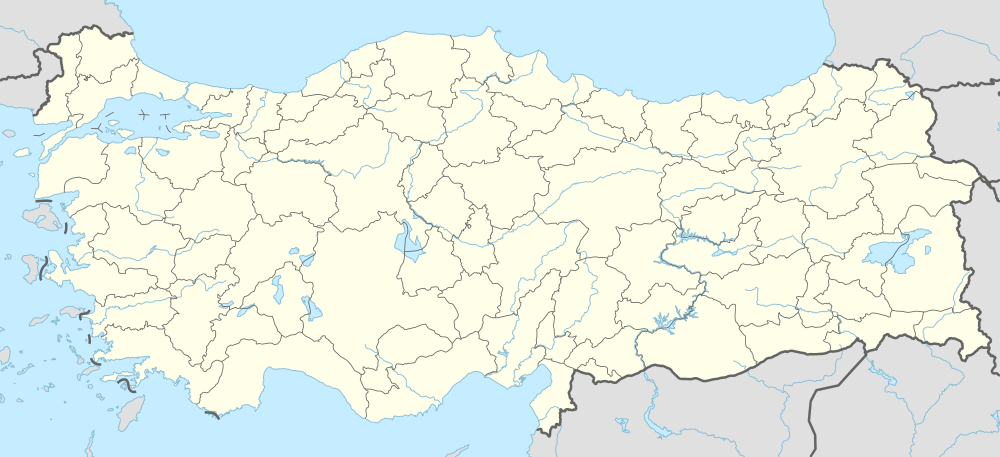  Mehmetli Location in Turkey | |
| Coordinates: 37°29′0″N 36°03′0″E / 37.48333°N 36.05000°ECoordinates: 37°29′0″N 36°03′0″E / 37.48333°N 36.05000°E | |
| Country |
 Turkey Turkey |
| Province | Osmaniye Province |
| District | Sumbas |
| Government | |
| • Body | Mehmetli Municipality |
| Elevation | 130 m (425 ft) |
| Population (2010) | |
| • Total | 1,524 |
| Time zone | EET (UTC+2) |
| • Summer (DST) | EEST (UTC+3) |
| Postal code | 80940 |
| Area code(s) | 0328 |
| Licence plate | 80 |
Mehmetli is a small belde (town) in Sumbas district of Osmaniye Province, Turkey. At 37°29′N 36°03′E / 37.483°N 36.050°E it is at the southeast of Mehmetli Dam (also called Kesiksuyu Dam) reservoir and 5 kilometres (3.1 mi) north of Sumbas. Distance to Osmaniye, the province center, is 65 kilometres (40 mi). The population of Mehmetli is 1524[1] as of 2010. The name of the town refers to personal name Mehmet which is very common in the settlement. The settlement was founded in 1835 as a small village of several families. In 1998 it was declared a seat of township.[2]
References
- ↑ "Turkstat". Turkish Statistical Institute. Archived from the original on April 25, 2012. Retrieved April 25, 2011.
- ↑ Page of the Sumbas governorship (Turkish)
This article is issued from Wikipedia - version of the 9/6/2016. The text is available under the Creative Commons Attribution/Share Alike but additional terms may apply for the media files.