Meta Department
| Department of Meta Departamento del Meta | |||
|---|---|---|---|
| Department | |||
|
The Llanos in Colombia | |||
| |||
| Motto: Llano Grande de Colombia y Meta | |||
| Anthem: Himno de Meta (Colombia) | |||
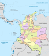
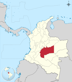 Meta shown in red | |||
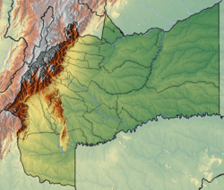 Topography of the department | |||
| Coordinates: 4°9′N 73°38′W / 4.150°N 73.633°WCoordinates: 4°9′N 73°38′W / 4.150°N 73.633°W | |||
| Country |
 Colombia Colombia | ||
| Region | Orinoquía Region | ||
| Established | July 1, 1960 | ||
| Capital | Villavicencio | ||
| Government | |||
| • Governor | Marcela Amaya (2016-2019) | ||
| Area | |||
| • Total | 85,635 km2 (33,064 sq mi) | ||
| Area rank | 4th | ||
| Population (2013)[1] | |||
| • Total | 924,843 | ||
| • Rank | 19th | ||
| • Density | 11/km2 (28/sq mi) | ||
| Time zone | UTC-05 | ||
| ISO 3166 code | CO-MET | ||
| Provinces | 4 | ||
| Municipalities | 29 | ||
| Website | www.meta.gov.co | ||
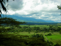

Meta is a department of Colombia. It is close to the geographic center of the country, to the east of the Andean mountains. A large portion of the department, which is also crossed by the Meta River, is covered by a grassland plain known as the Llanos. Its capital is Villavicencio. The department has a monument placed in the very geographic centre of Colombia, at a place known as Alto de Menegua, a few kilometers from Puerto López.
Achagua, which is similar to Piapoco, is an Indigenous language spoken by a minority in the department.
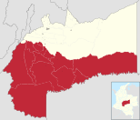
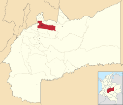
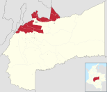
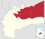
Municipalities
| Ariari | Villavicencio | Piedemonte | Meta River |
|---|---|---|---|
 |
 |
 |
 |
References
External links
- Folklore llanero
- Government Meta
- Territorial-Environmental Information System of Colombian Amazon SIAT-AC website
See also
 | ||
.svg.png)


.svg.png)







.svg.png)
.svg.png)


This article is issued from Wikipedia - version of the 8/16/2016. The text is available under the Creative Commons Attribution/Share Alike but additional terms may apply for the media files.