Mirassolândia
| Mirassolândia | ||
|---|---|---|
| Municipality | ||
| ||
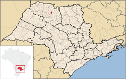 Location of Mirassolândia | ||
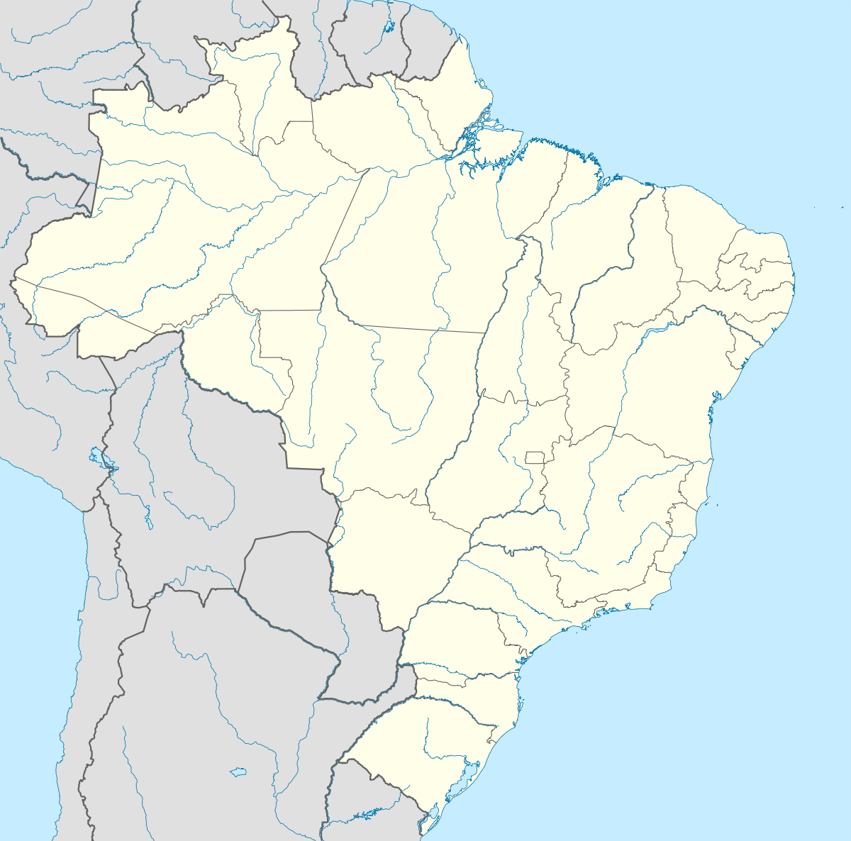  Mirassolândia Location of Mirassolândia | ||
| Coordinates: 20°37′00″S 49°27′50″W / 20.61667°S 49.46389°WCoordinates: 20°37′00″S 49°27′50″W / 20.61667°S 49.46389°W | ||
| Country |
 Brazil Brazil | |
| Region | Southeast | |
| State |
 São Paulo São Paulo | |
| Mesoregion | São José do Rio Preto | |
| Area | ||
| • Total | 166.2 km2 (64.2 sq mi) | |
| Population (2010/IBGE) | ||
| • Total | 4,295 | |
| • Density | 26/km2 (67/sq mi) | |
| Time zone | UTC-3 (UTC-3) | |
| • Summer (DST) | UTC-2 (UTC-2) | |
| Postal Code | 15145-000 | |
| Area code(s) | +55 17 | |
| Website | Prefecture of Mirassolândia | |
Mirassolândia is a municipality in the state of São Paulo, Brazil. The population is of 4,295 inhabitants and the area is 166.2 km².[1]
Mirassolândia is located on the north of São Paulo state, 25 km from the city of São José do Rio Preto. The area is essentially rural.
External links
- (Portuguese) http://www.mirassolandia.sp.gov.br
- (Portuguese) citybrazil.com.br
References
- ↑ "2010 Census of the IBGE - Population - Table 2.1.20" (PDF) (in Portuguese). IBGE.gov.br. Retrieved 28 July 2011.
This article is issued from Wikipedia - version of the 5/14/2016. The text is available under the Creative Commons Attribution/Share Alike but additional terms may apply for the media files.