Mirzapur, Bangladesh
This article is about the town. For the upazila, see Mirzapur Upazila.
| Mirzapur মির্জাপুর | |
|---|---|
| Town | |
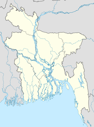  Mirzapur | |
| Coordinates: 24°06′30″N 90°05′30″E / 24.1083°N 90.0917°ECoordinates: 24°06′30″N 90°05′30″E / 24.1083°N 90.0917°E | |
| Country | Bangladesh |
| Division | Dhaka Division |
| District | Tangail District |
| Upazila | Mirzapur Upazila |
| Government | |
| • Type | Pourashava |
| • Mayor | Shahadwat Hossen (Bangladesh Awami League) |
| Area | |
| • Total | 8.58 km2 (3.31 sq mi) |
| Population | |
| • Total | 28,602 |
| • Density | 3,300/km2 (8,600/sq mi) |
| Time zone | BST (UTC+6) |
| Postal codes | 1940 |
| Area code(s) | 9229 |
| Website |
mirzapur |
Mirzapur (Bengali: মির্জাপুর) is a town of Mirzapur Upazila, Tangail, Bangladesh. The town is situated 41 km southeast of Tangail city and 54 km northwest of Dhaka city, the capital of Bangladesh.[1]
Demographics
According to Population Census 2011 performed by Bangladesh Bureau of Statistics, The total population of Mirzapur town is 28,602.There are 6129 households in total.[2]
Education
The literacy rate of Mirzapur town is 69.7% (Male-71%, Female-68.6%).[3]
See also
References
- ↑ "6 killed in Mirzapur, Tangail". The Daily Star, Bangladesh. 2011-11-22. Retrieved 2016-01-16.
- ↑ "Tangail Table C-01 : Area, Households, Population, Density by Residence and Community" (PDF). bbs.gov.bd. Retrieved 2016-03-01.
- ↑ "Tangail : C06 : Distribution of Population aged 7 years and above by Literacy, Sex, Residence and Community" (PDF). bbs.gov.bd. Retrieved 2016-02-25.
This article is issued from Wikipedia - version of the 6/30/2016. The text is available under the Creative Commons Attribution/Share Alike but additional terms may apply for the media files.