Misima Island Airport
| Misima Airport | |||||||||||
|---|---|---|---|---|---|---|---|---|---|---|---|
| IATA: MIS – ICAO: AYMS | |||||||||||
| Summary | |||||||||||
| Airport type | Public | ||||||||||
| Operator | Government | ||||||||||
| Serves | Misima Island, Milne Bay Province, Papua New Guinea | ||||||||||
| Elevation AMSL | 27 m / 89 ft | ||||||||||
| Coordinates | 10°41′21″S 152°50′17″E / 10.68917°S 152.83806°ECoordinates: 10°41′21″S 152°50′17″E / 10.68917°S 152.83806°E | ||||||||||
| Map | |||||||||||
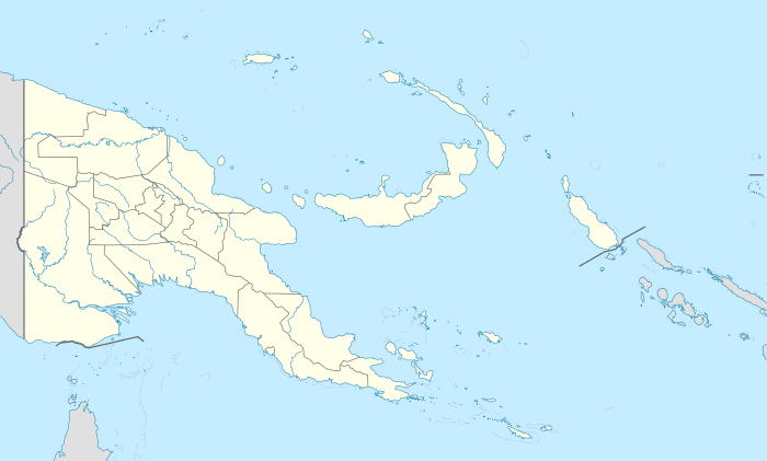  MIS Location of the airport in Papua New Guinea | |||||||||||
| Runways | |||||||||||
| |||||||||||
Misima Airport (IATA: MIS, ICAO: AYMS) is an airport serving the Misima Island, in the Milne Bay Province of Papua New Guinea.
Airlines and destinations
| Airlines | Destinations |
|---|---|
| Airlines PNG | Alotau |
References
- ↑ Airport information for AYMS at World Aero Data. Data current as of October 2006.Source: DAFIF.
- ↑ Airport information for MIS at Great Circle Mapper. Source: DAFIF (effective October 2006).
External links
This article is issued from Wikipedia - version of the 12/4/2016. The text is available under the Creative Commons Attribution/Share Alike but additional terms may apply for the media files.