Mituraju
| Mituraju | |
|---|---|
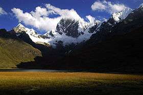 Mituraju (center-right) and Runtuy as seen from Lake Mitucocha | |
| Highest point | |
| Elevation | 5,750 m (18,860 ft) [1] |
| Coordinates | 10°13′48″S 76°54′51″W / 10.23000°S 76.91417°WCoordinates: 10°13′48″S 76°54′51″W / 10.23000°S 76.91417°W |
| Geography | |
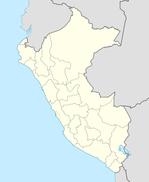  Mituraju Peru | |
| Location | Ancash Region, Huánuco Region |
| Parent range | Andes, Huayhuash |
Mituraju[1][2] (possibly from Quechua mit'u, mitu mud, rahu snow, ice, mountain with snow)[3][4] is a 5,750-metre-high (18,865 ft)[1] mountain in the north of the Huayhuash mountain range in the Andes of Peru.[1] It is located in the Ancash Region, Bolognesi Province, Pacllón District, and in the Huánuco Region, Lauricocha Province, Queropalca District.[5] Mituraju lies southeast of Runtuy and southwest of Lake Mitucocha.[1][5]
See also
References
- 1 2 3 4 5 Alpenvereinskarte 0/3c. Cordillera Huayhuash (Peru). 1:50 000. Oesterreichischer Alpenverein. 2008. ISBN 9783937530079.
- ↑ Frimer, Jeremy (2005). Climbs and Treks in the Cordillera Huayhuash of Peru. Elaho Pub. pp. 96,98. ISBN 9780973303551.
- ↑ Teofilo Laime Ajacopa, Diccionario Bilingüe Iskay simipi yuyayk'ancha, La Paz, 2007 (Quechua-Spanish dictionary)
- ↑ babylon.com
- 1 2 escale.minedu.gob.pe - UGEL map of the Bolognesi Province (Ancash Region)
This article is issued from Wikipedia - version of the 8/10/2016. The text is available under the Creative Commons Attribution/Share Alike but additional terms may apply for the media files.