Möng Pu
This article is about the town. For the former state, see Mongpu State.
| Möng Pu | |
|---|---|
| Town | |
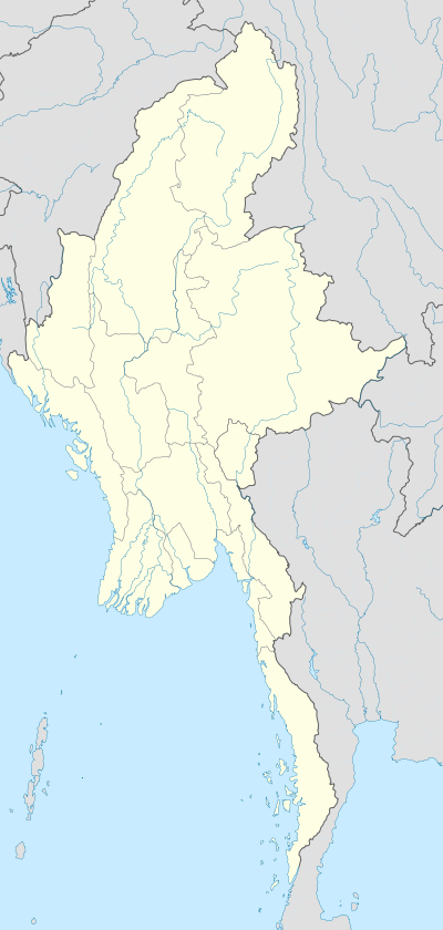  Möng Pu Location in Burma | |
| Coordinates: 20°54′00″N 98°45′00″E / 20.90000°N 98.75000°ECoordinates: 20°54′00″N 98°45′00″E / 20.90000°N 98.75000°E | |
| Country |
 Burma Burma |
| State | Shan State |
| District | Mongsat District |
| Township | Mong Ping Township |
| Elevation[1] | 485 m (1,591 ft) |
| Time zone | MST (UTC+6.30) |
Möng Pu or Mong Pu is a village in Mong Ping Township, Mongsat District, Shan State, eastern Myanmar.[2]
Geography
Mong Pu lies in a small valley surrounded by mountains. Loi San mountain is located about 2 km to the southeast of the town, overlooking the Möng Pu valley.[3]
History
Mongpu State (Möngpu, where Mong is equivalent to Thai Mueang) was one of the Shan States. It was a tributary state of Kengtung State. The capital and residence of the ruler was the town of Mong Pu.[4][5]
References
- ↑ GoogleEarth
- ↑ "Möng Pu". Mapcarta. Retrieved 27 May 2016.
- ↑ "Loi San". Mapcarta. Retrieved 28 May 2016.
- ↑ "Imperial Gazetteer of India, v. 15, p. 200.". Retrieved 27 May 2016.
- ↑ Sir Charles Crosthwaite "The pacification of Burma"
Capital: Mong Ping | |
|


This article is issued from Wikipedia - version of the 8/19/2016. The text is available under the Creative Commons Attribution/Share Alike but additional terms may apply for the media files.